InfoGraphic: The Big Picture for Friday / Saturday
8/02/2018 6:00pm

> From the WeatherWatch archives
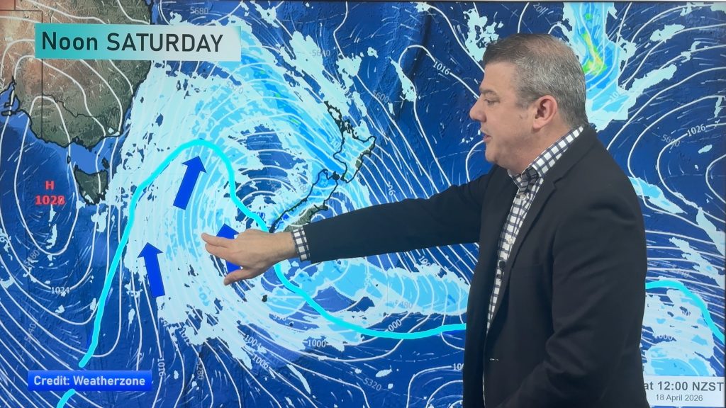
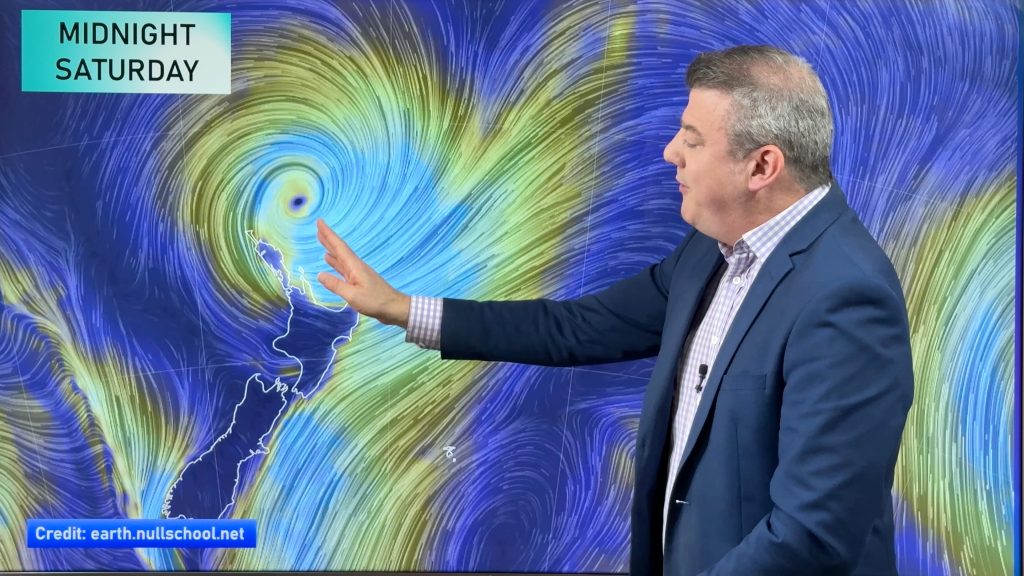
A ridge lies over the South Island today meanwhile an occluded front sweeps down over the upper North Island from the northeast. An east to northeasterly airflow continues over the country on Saturday.
A mainly sunny day for the South Island today, some high cloud possible in the north and south of the Island.
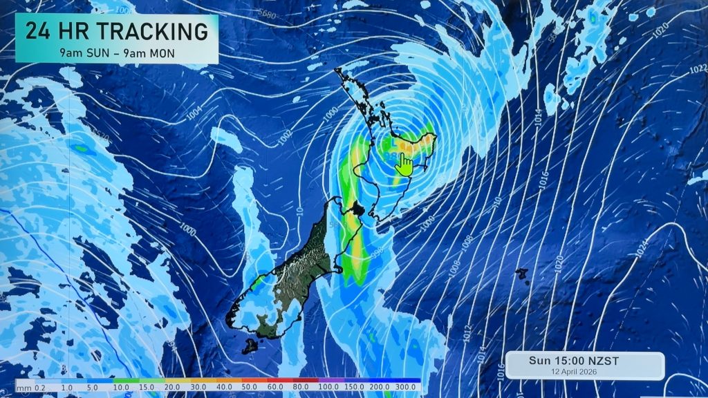
For the North Island skies are cloudier, rain for most of the upper North Island bringing the chance of a heavy fall, some drizzle at times. The lower North Island is mainly dry apart from some drizzle in the east, some rain moves through Taranaki and the Central North Island later in the evening / overnight.
Most regions in the North Island see rain on Saturday, heavy falls still possible for many but there will also be many areas of lighter rain or perhaps even some dry spells. Some rain moving onto the upper South Island later in the evening or overnight bringing the chance of heavy falls. The driest weather looks to be about the lower and western South Island.

By Weather Analyst Aaron Wilkinson – WeatherWatch.co.nz
Comments
Before you add a new comment, take note this story was published on 8 Feb 2018.


Add new comment