InfoGraphic: The Big Picture for Friday / Saturday
10/05/2018 7:00pm

> From the WeatherWatch archives
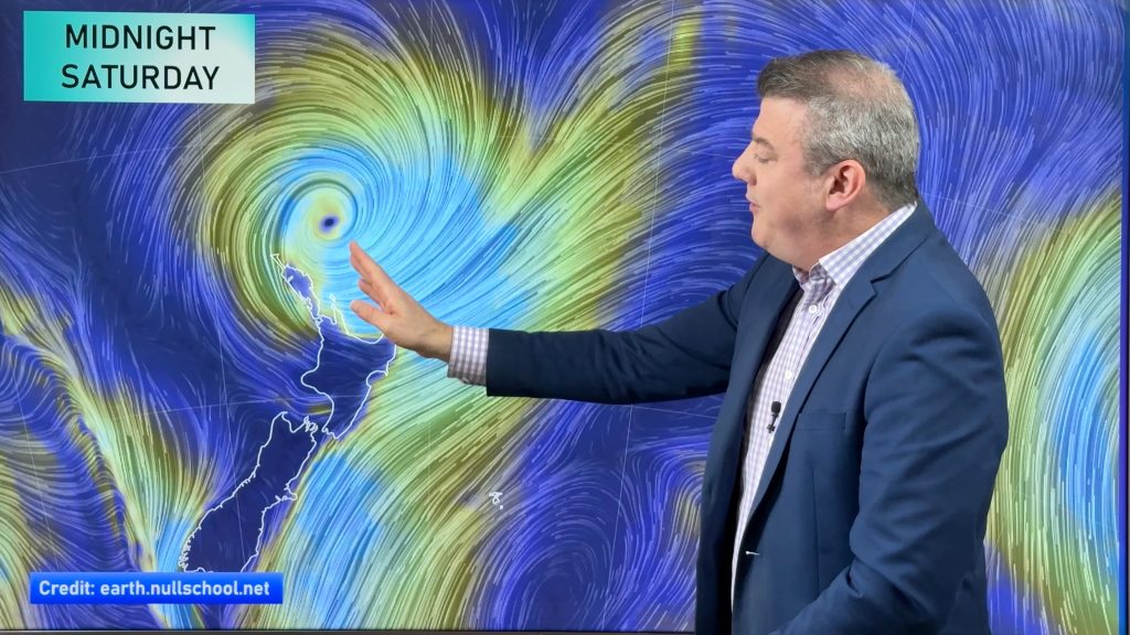
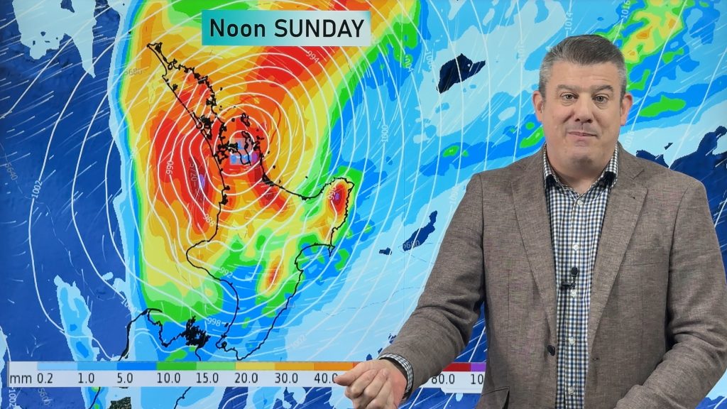
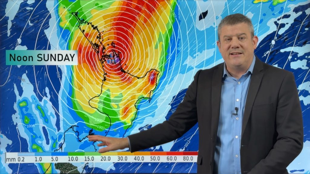
A low moves in from the west pushing over the South Island later today, a front accompanying this low passes over the country from west to east during the day. A southerly quarter airflow swings around to the northeast in the afternoon over New Zealand on Saturday, a un-organised front over the upper North Island strengthens from afternoon bringing heavy rain potential.
Rain or showers for most regions today, rain may be heavy at times also for the areas coloured in blue below. Rain looks to be mainly heavy for western parts of the South Island this morning. Rain for the upper North Island could be heavy at times from afternoon however a greater chance exists later in the day / overnight.
Areas of rain in the east tend to be a bit more scattered and comes in the form of “spillover” rain from the west. Northerly winds get a bit gusty through central New Zealand during the day.
Rain will have eased by Saturday morning for the upper North Island then from afternoon a front becomes more organised pushing down from the north lifting the risk of heavy rain once again, the Waikato and Bay Of Plenty don’t see this heavy rain potential till evening. Quite cloudy for the rest of New Zealand with the chance of a few light showers about, especially Canterbury in the morning.

By Weather Analyst Aaron Wilkinson – WeatherWatch.co.nz
Comments
Before you add a new comment, take note this story was published on 10 May 2018.


Add new comment