> From the WeatherWatch archives
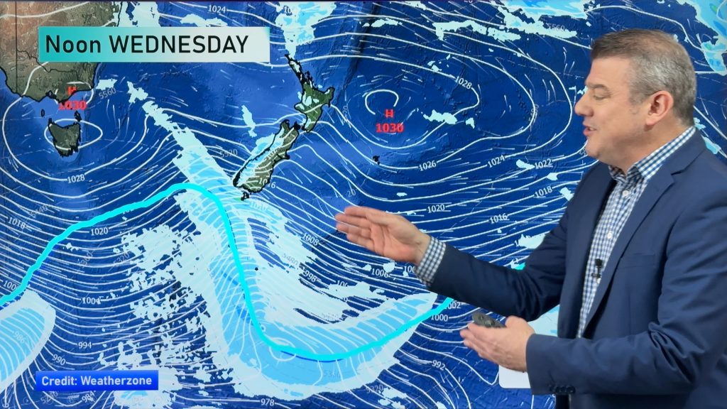
A cold southwesterly airflow develops on Friday, a front within this flow clears the North Island in the morning then another region of activity builds over the South Island from afternoon.
Morning showers for the western North Island may be heavy with hail and possible thunderstorms then easing with some sun breaking through by midday, winds from the west. Sunny areas and some cloud in the east.
Showers for the West Coast of the South Island clears overnight, elsewhere over the South Island expect sunny spells and the chance of an isolated shower. Showers becoming more widespread during the afternoon, there may even be the odd isolated heavy fall with some hail then easing overnight for Southland / Otago.

By Weather Analyst Aaron Wilkinson – WeatherWatch.co.nz
Comments
Before you add a new comment, take note this story was published on 16 Aug 2018.


Add new comment