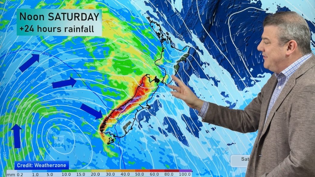
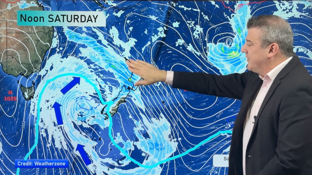
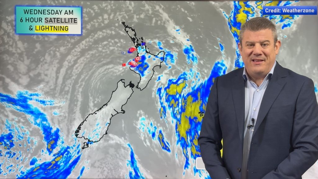
How far will the cold snap go? How much rain and snow? 10 maps explain it all
4/06/2020 8:40pm

> From the WeatherWatch archives
The South Island is in for a cold and wintry weekend while the North Island is partially wrapped up in this cold change, although northern NZ won’t feel it so much until Sunday/Monday.
Heavy snow will cover the Southern Alps and could get down – briefly – to just 300 or 400m, which means places like Queenstown, Arrowtown and down to Lumsden may see snow very low in the area for a time overnight tonight/early Saturday.
Daytime highs may struggle for those towns mentioned above of climbing over 3 or 4 degrees on Saturday with wind chills below freezing for live stock.
Rain will be in the form of showers for the North Island with milder winds in the north and east.
Despite the cold air and snow around the South Island the Desert Road doesn’t look to be too badly impacted – or not impacted at all. But if you are driving through Central Plateau on the Desert Road there may be some wintry showers overnight Saturday and into Sunday.
Here are 10 maps to explain it better for you… and remember, visit www.RuralWeather.co.nz to make sense of these maps for your specific part of New Zealand. Have a great weekend!


- WeatherWatch.co.nz & RuralWeather.co.nz – Intelligent weather data when you need it the most.
Comments
Before you add a new comment, take note this story was published on 4 Jun 2020.


Add new comment