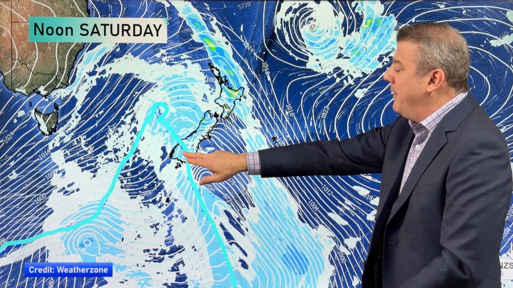
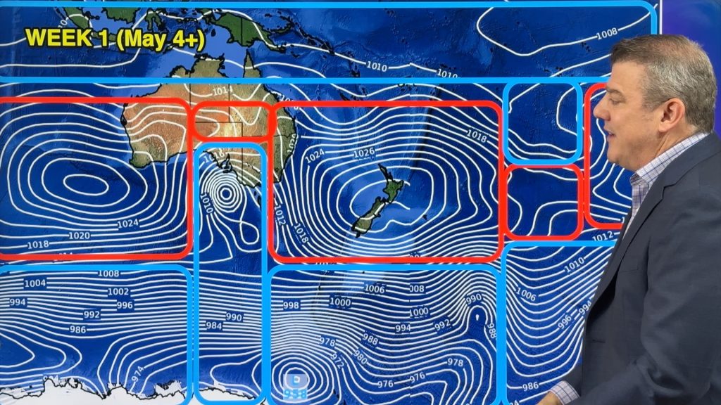
Hot first half to this week but a big cold change on Thursday (+2 Maps)
24/01/2021 9:09pm

> From the WeatherWatch archives
Temperatures will be over 10 degrees above average in some parts of NZ this week – by Thursday it’s all over with a cold change.
WeatherWatch.co.nz says in some places (mostly inland to the east) some daytime highs on Tuesday and Wednesday will reach the mid 30s, maybe even the late 30s. Canterbury, Marlborough and Hawke’s Bay are high contenders for mid to possible late 30s.
The heat is coming from both a pulse of hot air out of Australia and sub-tropical northerlies on a departing high pressure system. On top of this, it will come in as a windy nor’wester. This triple whammy helps push temperatures up during the day into the mid, even late, 30s.
A big cold change arrives on Thursday with daytime highs tumbling 15 to maybe 20 degrees from where they were on Tuesday. Snow on the mountain tops is again possible.
Visit the new-look www.RuralWeather.co.nz to see wind chill and humidex readings each hour where you are for the next 10 days.
Daytime highs will struggle to even reach the teens in some parts of Southland and Otago on Thursday then the cold air moves into the North Island Thursday night and across Friday. For those camping Friday night may also be colder as high pressure rolls in and locks in the cooler air.
By this weekend high pressure returns with hotter days and La Nina easterlies move back in.


Comments
Before you add a new comment, take note this story was published on 24 Jan 2021.


Add new comment