
Heavy rain & snow for SI, windy at times for NI
25/08/2026 11:36am
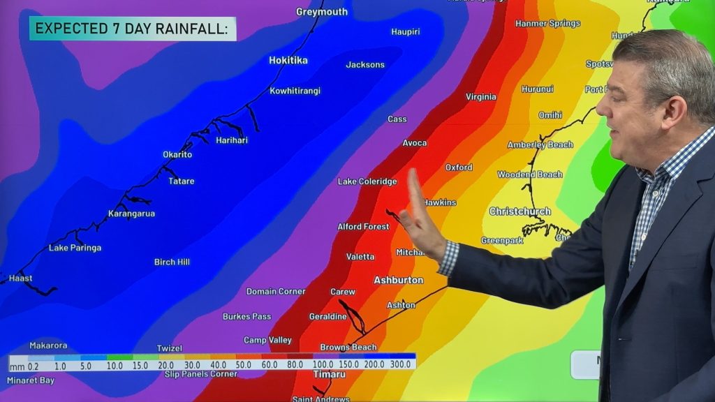
Low pressure will leave Australia tomorrow and quickly move into the South Island, bringing heavy rain which will spread further eastwards than it usually does, bringing heavy rain into Canterbury and parts of Otago, mixed with cold air this could also turn to heavy snow (above 1000 metres definitely and may go as low as 400 or 500m). Keep up to date with the MetService warnings: https://www.weatherwatch.co.nz/maps-radars/warnings
There is a fine line between what could be heavy rain or heavy snow for alpine and higher elevation parts of Canterbury in particular, but also Otago, so keep an eye on your local WeatherWatch.co.nz or RuralWeather.co.nz forecasts, along with MetService warnings and watches, as it won’t take much for heavy rain to fall as heavy snow, or vice versa. Snow is not forecast to sea level or in Christchurch or Dunedin.
The North Island doesn’t get as much rain, but does get clipped by some downpours and the windier westerly flow which will still gust to severe gale in the lower North Island for a time on Wednesday.
This weekend the rain clears to a few showers, although the upper North Island has some messy low pressure which could produce some locally heavy falls – but the windy west to south-west winds crank back up again nationwide, especially on Sunday.
We break down the weather moving through NZ between today and Monday of next week.
Latest Video
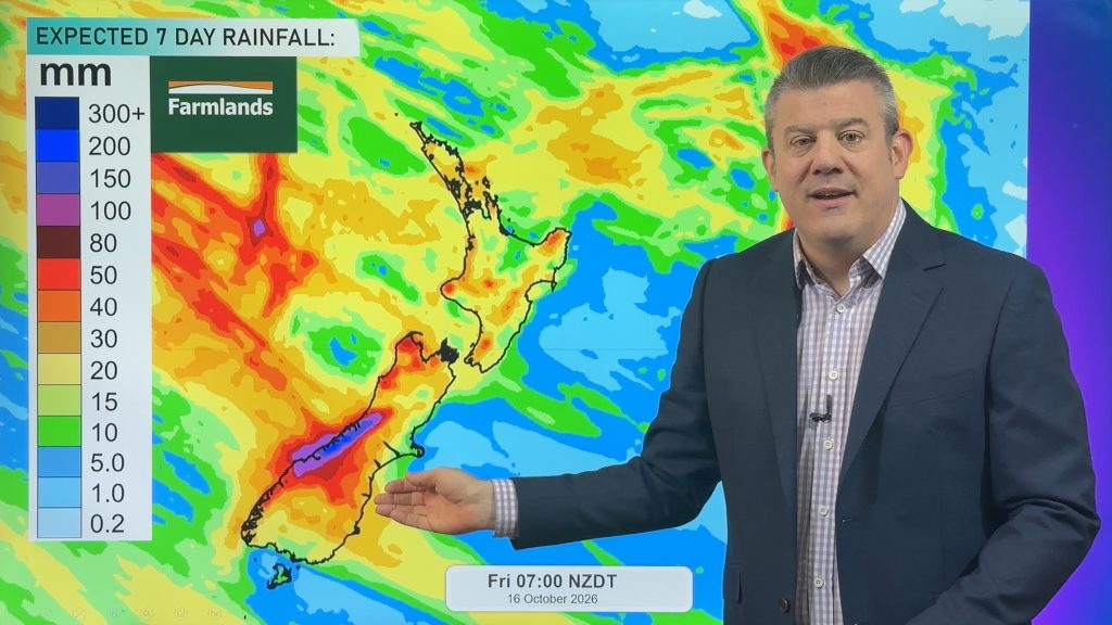
NZ: Instability to produce some wet weekend weather, cold change next week
Afternoon downpours will expand on Saturday with possible isolated thunderstorms as atmospheric instability (due to lower pressure zones east and…
Related Articles
NZ: Instability to produce some wet weekend weather, cold change next week
Afternoon downpours will expand on Saturday with possible isolated thunderstorms as atmospheric instability (due to lower pressure zones east and…
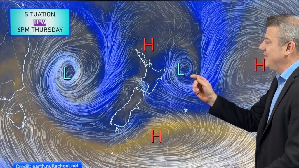
Weekend downpours in both main islands, temps increase
Warmer air will spread over more parts of NZ this weekend but it will come with showers, some downpours and…
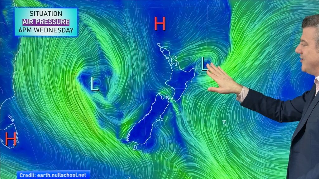
Downpours & showers developing, but still some large dry areas
NZ is between two lows and one big high right now, bringing different airflows into different parts of each main…

