Heavy frosts tonight again in the south, some in the north – but what a bounce back by Monday (+9 Maps/Graphs)
13/06/2020 4:57am

> From the WeatherWatch archives
Another cold, frosty, night is on the way with NZ’s Frost Forecaster at RuralWeather.co.nz expecting many inland parts of the South Island dropping back in to the risk zone again.
However many coastal areas may just be shy of it, or at least frosts will be lighter.
The lowest temperatures inland will again be around -4 to to -8 with perhaps a couple of spots going a little lower in the South Island’s interior and highlands.
The lower inland part of the North Island and Central Plateau also has a cold night ahead with frosts in some places although cloud cover will become more likely in the east and north.
The upper North Island continues to stay fairly mild with Auckland City having double digit overnight lows, but rural areas will be colder.
By Monday night and into Tuesday a sub-tropical flow, or milder northerly quarter winds, will move in making for warmer than average overnight lows, meaning the South Island goes from several degrees below normal to several degrees above normal in just 48 hours.
New Zealand’s only public Frost Forecaster can be freely found at www.RuralWeather.co.nz
You can also find Minimum Temperature maps for overnight lows here: www.weatherwatch.co.nz/maps-radars/temperature/minimum-temperature
Finally, you can also see the below zero temperature maps by clicking here: It’s worth noting frosts can occur in the areas surrounding the risk zone too.


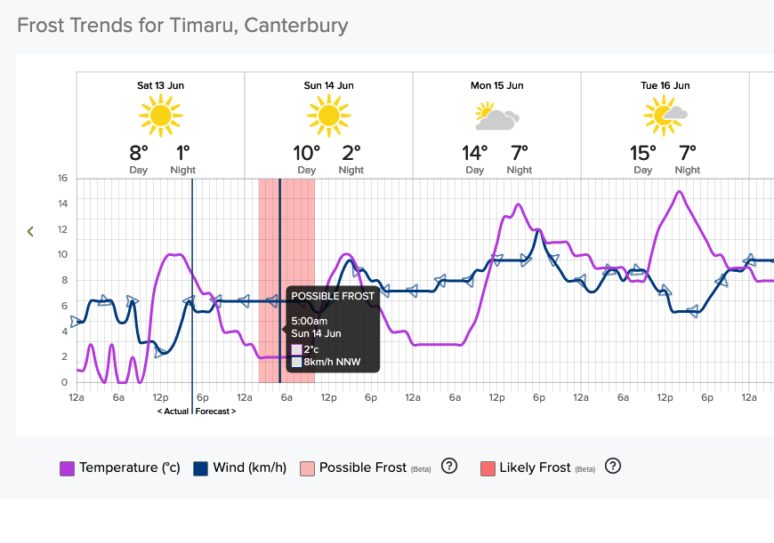
RuralWeather.co.nz – Frost Forecaster examples:


- WeatherWatch.co.nz / RuralWeather.co.nz
Latest Video

Cold weekend, frosts return with high pressure, then a low late next week
The subantarctic airflow spreads over NZ today/tonight and into Saturday, dropping temperatures nationwide. Snow flurries are possible today to lower…
Related Articles
Cold weekend, frosts return with high pressure, then a low late next week
The subantarctic airflow spreads over NZ today/tonight and into Saturday, dropping temperatures nationwide. Snow flurries are possible today to lower…

Wintry burst of weather: Snow, squally showers then sunshine & frosts
A polar change (another one!) arrives on Friday for the South Island and goes nationwide on Saturday, leaving NZ under…

Antarctic southerly for parts of NZ Fri & Sat
For the first time this year a southerly from off Antarctica is heading towards the South Island, followed by more…

