> From the WeatherWatch archives
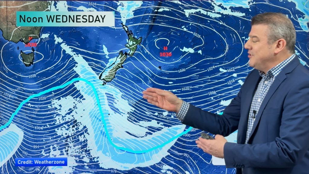
If you live in the east of the upper South Island, or in the lower North Island, expect a very windy end to today – and night.
Gale force winds, with gusts over 120km/h (hurricane force/severe gale) will develop in the eastern South Island this afternoon. Around Kaikoura gusts may climb closer to 150km/h for a time.
The strongest winds look likely to be north of Christchurch and south of Palmerston North.
Tonight Wellington and southern Wairarapa will be exposed to damaging gusts – most likely on the ranges and more exposed parts, but the risk is there for some wild winds for a time tonight in the capital.
Over the next two weeks WeatherWatch.co.nz expects westerly quarter winds to “surge” to gale at times, and above, along with quieter lulls. Generally speaking winds from the westerly quarter will be most frequent.
Keep an eye on the wind maps on our website for the latest.
Map for midnight tonight shows damaging winds in purple shading (above 120km/h)

– See our MAPs link/tab for more info.
– WeatherWatch.co.nz
Comments
Before you add a new comment, take note this story was published on 11 May 2016.


Add new comment