Frosty weather as far north as Auckland, heavy frosts to -8C through South Island (+5 Maps)
2/07/2020 7:09pm

> From the WeatherWatch archives
It’s a very cold morning right across New Zealand, the coldest so far of 2020 nationwide as temperatures drop below zero in Auckland and well into the negatives through Southland, Otago and Canterbury.
Temperatures may drop a little further between 7am and 8am in some areas, before the sun properly rises.
As of 7am it was -7C near Lake Hawea, -8C at Springvale near Alexandra and -7C in Ida Valley.
-4C at Dunedin Airport and -4C in Lumsden, Southand.
-6C at Omarama and across Canterbury -2C and -3C inland.
The West Coast is hovering near freezing and just a little further inland it’s -4C to -6C.
In the North Island Foxton is -2C and parts of Palmerston North -1C.
It’s -1C across many parts of Waikato and the Hauraki Plains and -2C at Tamahere. Matamata and Tokoroa are on -3C and -4C outside of Rotorua towards Taupo.
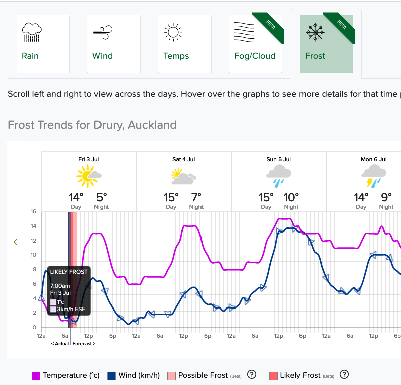
As WeatherWatch.co.nz forecast yesterday, Auckland has a frost too with below zero temperatures. It’s -2C as of 7am in Drury, -1C in Clevedon, -1C at Riverhead and just +1C at Matakana.
Parts of Whangarei and Bay of Islands are just +2C, which is getting into frost territory – or just ice on the cars.
And in the Far North, Pukenui has +12C this morning, NZ’s hotspot!
See New Zealand’s largest weather observation network with over 3000 observations: https://www.weatherwatch.co.nz/maps-radars/observations/live-observations
See New Zealand’s only public FROST FORECASTER by clicking/tapping here.


New Zealand’s only Frost Forecaster: www.RuralWeather.co.nz
Latest Video

Matariki, the long weekend + the outlook for next week
Wet weather and cloud continues along the eastern side of the country with the heaviest rain now moving into northern…
Related Articles
Matariki, the long weekend + the outlook for next week
Wet weather and cloud continues along the eastern side of the country with the heaviest rain now moving into northern…

More eastern rain, but a drier long weekend coming
Rain continues today along the eastern South Island and lower North Island, coming in from the east with heavy falls….

More heavy rain, snow – but large dry areas, especially as we go into the long weekend
Heavy rain will continue for parts of Canterbury and Marlborough over the next day or two and it will gradually…

