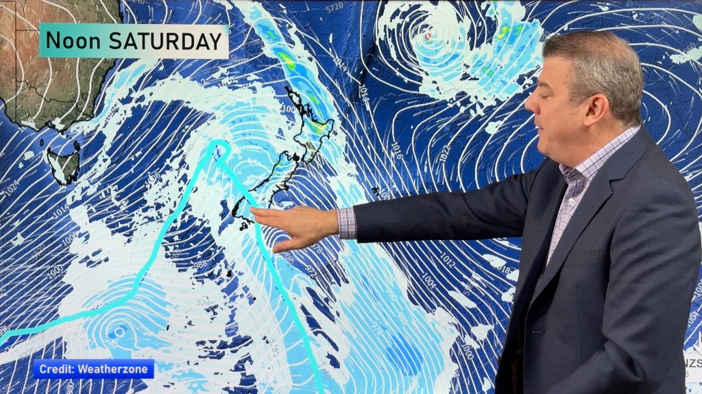
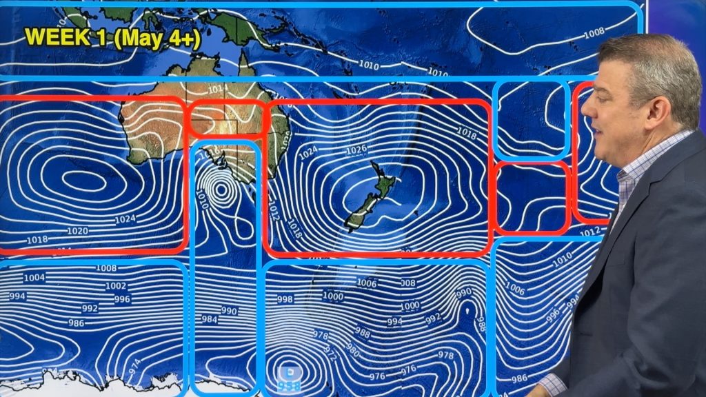
Friday’s national forecast – Settled with a high in control (+10 maps)
1/07/2021 4:40pm

> From the WeatherWatch archives
A large high pressure system covers New Zealand today bringing settled weather.
Please refer to your local, hourly, 10 day forecast for more details.
Northland, Auckland, Waikato & Bay Of Plenty
Mostly sunny, there may be some morning fog about inland areas (like the Waikato). Coromandel through to eastern Northland sees some cloud and the risk of a shower. Light winds.
Highs: 13-16
Western North Island (including Central North Island)
Mostly sunny, there may be some morning low cloud or fog then breaking away. Light winds.
Highs: 9-13
Eastern North Island
Morning cloud then mostly sunny. Gisborne may see cloud hang around much of the day however, perhaps a light shower or two also. Light winds.
Highs: 12-14
Wellington
Mostly sunny, some cloud at times. Northerly winds.
Highs: 12-13
Marlborough & Nelson
Sunny with light winds.
Highs: 11-14
Canterbury
Sunny areas and some high cloud, light winds.
Highs: 6-11
West Coast
Partly cloudy skies, skies about South Westland may be a little cloudier with the risk of a shower. Light winds.
Highs: 8-13
Southland & Otago
Sunny areas and some high cloud. Light winds.
Highs: 7-13


Comments
Before you add a new comment, take note this story was published on 1 Jul 2021.


Add new comment