Friday’s national forecast – Heavy rain upper SI
4/05/2023 11:46am

> From the WeatherWatch archives
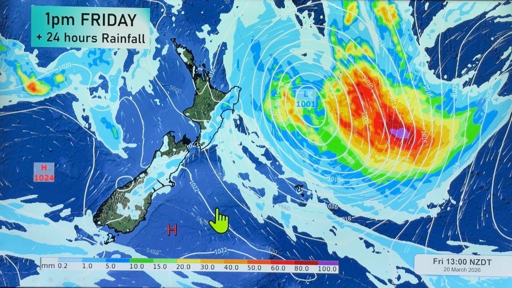
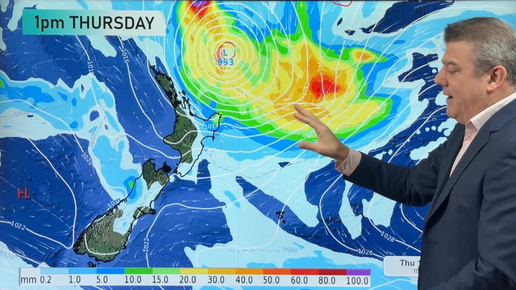
A northeasterly airflow lies over the country today, an occluded front in this flow feeds into the upper South Island bringing heavy rain.
Northland, Auckland, Waikato & Bay Of Plenty
Humid with rain at times, heavy falls for Northland especially morning. Fresh northeasterly winds.
Highs: 19-22
Western North Island (including Central North Island)
Rain, south of Taranaki it may dry up in the afternoon with sunny areas breaking through although Kapiti continues to see showers. Northeasterly winds.
Highs: 16-22
Eastern North Island
Partly cloudy, Wairarapa has rain clearing away in the afternoon. North of Gisborne has a few showers. Northeasterly winds.
Highs: 21-23
Wellington
Rain, easing around midday to spits and showers. Northeasterly winds tend to the north in the afternoon.
Highs: 18-21
Marlborough & Nelson
Rain, heavy for Tasman, Nelson and the Sounds. North to northeasterly winds.
Highs: 17-19
Canterbury
Low cloud or fog then mostly cloudy, some rain may spill over from the west at times Mid Canterbury northwards, more so into the second half of the day. South Canterbury is mainly dry with sun possible. Northeasterlies tend to the north later in the day.
Highs: 16-19
West Coast
Mostly cloudy with rain, parts of North Westland may be dry in the morning. South Westland has a few heavy falls and thunderstorms. Northeasterly winds.
Highs: 18-19
Southland & Otago
Partly cloudy, rain possible for a time in the afternoon. Northeasterlies, tending northerly inland in the afternoon, north to northwesterly winds spread to coastal areas overnight.
Highs: 17-19
Comments
Before you add a new comment, take note this story was published on 4 May 2023.


Add new comment