Friday’s national forecast – Fronts in the west (+8 maps)
22/04/2021 4:33pm

> From the WeatherWatch archives
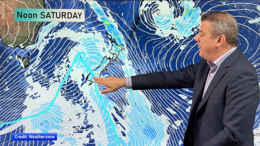
A frontal system brings rain or showers to western parts of the country today meanwhile it’s drier and sunnier in the east.
Southland could pick up rain or showers later this afternoon though then reaching Otago later this evening. Temperatures in the late teens or early twenties for most but in the mid teens for parts of the far south, West Coast and about the Central Plateau.
Please refer to your local, hourly, 10 day forecast for more details.
Northland, Auckland, Waikato & Bay Of Plenty
Increasing cloud, chance of a shower for Northland and Auckland. Rain sweeps down southeastwards over the upper North Island during the afternoon reaching Bay Of Plenty in the evening, easing overnight with a southwest change.
Highs: 20-21
Western North Island (including Central North Island)
Sunny areas and increasing high cloud, Kapiti may see a light shower or two. Late afternoon or evening rain spreads in from the west then easing overnight. North to northwesterly winds.
Highs: 16-20
Eastern North Island
Sunny areas and some high cloud, northwesterlies although expect afternoon northeasterlies for Hawkes Bay and Gisborne. Overnight spots of rain spread from the west.
Highs: 19-22
Wellington
Cloudy, a few spits from afternoon then some evening rain. Blustery north to northwesterly winds.
Highs: 17-18
Marlborough & Nelson
Sunny areas and increasing high cloud, scattered rain spreads into Nelson first then Marlborough second during the afternoon, clearing at night. North to northwesterly winds.
Highs: 17-20
Canterbury
Sunny areas and some high cloud, in the high country some scattered rain pushes northwards during the morning then easing and clearing in the afternoon. North to northwesterly winds.
Highs: 18-22
West Coast
A cloudy day with rain, easing to showers in the afternoon as northerlies change southwest. Rain moves back into Fiordland late afternoon then pushing northwards overnight.
Highs: 15-16
Southland & Otago
Mostly cloudy for Southland, scattered rain from afternoon. High cloud for Otago with morning spots clearing inland, later in the evening or overnight further rain moves in. Northwesterly winds.
Highs: 16-20


Comments
Before you add a new comment, take note this story was published on 22 Apr 2021.


Add new comment