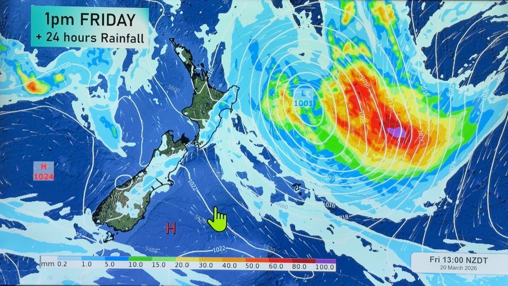
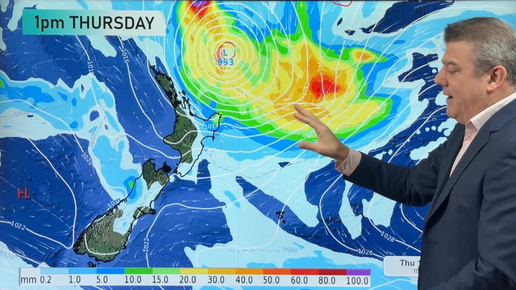
Friday’s national forecast – Broad low moves over (+10 maps)
28/10/2021 3:00pm

> From the WeatherWatch archives
A broad low pressure system moves over New Zealand today coming in from the Tasman Sea, showers for many regions with thunderstorms this afternoon for many North Island regions and potentially Nelson / Marlborough.
Please refer to your local, hourly, 10 day forecast for more details.
Northland, Auckland, Waikato & Bay Of Plenty
Showers and a few sunny spells, chance of a heavy fall / thunderstorm in the afternoon south of about Auckland then clearing in the evening. The odd shower may remain out west overnight. Northwesterlies tend to the west after midday.
Highs: 18-20
Western North Island (including Central North Island)
Morning sunny spells, chance of a shower. Showers becoming more widespread in the afternoon, some may be heavy with thunderstorms inland then clearing later in the evening. West to northwesterly winds.
Highs: 15-19
Eastern North Island
A dry morning with some sun, showers north of Mahia Peninsula. In the afternoon showers becoming a bit more widespread, some may become heavy with thunderstorms then clearing later in the evening. Light winds.
Highs: 20-22
Wellington
Morning showers or drizzle then cloud breaks to sun in the afternoon, north to northwesterly winds.
Highs: 17-20
Marlborough & Nelson
Any early showers or drizzle clears, cloud breaks to some sun. Mid to late afternoon showers develop again, some may become heavy with thunderstorms (mainly about inland hills and ranges) then clearing evening. Light winds.
Highs: 18-22
Canterbury
Mostly cloudy, the odd light shower or drizzle patch. Sun may break through in the afternoon. Light southwesterlies.
Highs: 17-22
West Coast
A few showers, clearing in the evening. Fiordland has a mainly dry day. Light winds.
Highs: 17-20
Southland & Otago
Early low cloud or fog then sunny spells, a few isolated showers in the afternoon for inland areas. Light winds tend onshore after midday.
Highs: 17-22
WeatherWatch.co.nz is proud to be setting the international standard for forecasting in NZ – powered by IBM


Comments
Before you add a new comment, take note this story was published on 28 Oct 2021.


Add new comment