> From the WeatherWatch archives
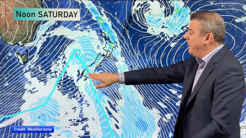
A cold front pushes over the North Island today, west to southwesterly winds further south.
Northland, Auckland, Waikato & Bay Of Plenty
Cloudy with a shower or two for western Auckland and Waikato then expect rain late morning for all regions as northwesterlies change fresh southwest. Rain quickly eases back to showers in the afternoon with some sun starting to break through, showers clear away in the evening.
Highs: 15-17
Western North Island (including Central North Island)
Morning rain with heavy falls possible as gusty northwesterly winds change southwest, rain easing to showers by midday and clearing in the afternoon with sun breaking through.
Highs: 12-15
Eastern North Island
Rain about Wairarapa spreads into Hawkes Bay in the morning then Gisborne by midday with a cool southwest change, rain eases during the afternoon then clearing evening. Rain may be heavy in the morning about Wairarapa before easing. Dry and warm with high cloud before rain moves in. A chance of some sun late in the day before dusk.
Highs: 17-19
Wellington
Morning rain (possibly heavy) then easing and clearing early afternoon with sun breaking through, southerly winds die out. Overnight winds swing back to the south but conditions remain dry.
Highs: 11-12
Marlborough & Nelson
Rain, easing in the morning and clearing around midday then sunny areas increase. Southwesterly winds dying away around midday for Marlborough but continuing for the rest of the day in Nelson. Snow lowers to 700m before clearing. Winds tend to the southwest later in the evening or overnight again for Marlborough but skies remaining mostly clear.
Highs: 13-15
Canterbury
Morning showers (rain about North Canterbury) with snow to 400m clears then becoming sunny with southwesterly winds dying out in the morning. Winds tend northwest in the afternoon then later in the evening a southwest flick moves northwards about coastal parts bringing some cloud.
Highs: 12-16
West Coast
Mostly cloudy skies. Early rain clears Greymouth northwards although not staying dry for long as rain about Fiordland spreads northwards moving into North Westland around midday. Snow to 700m, possibly 600m about Fiordland. Gusty west to southwesterly winds.
Highs: 10-13
Southland & Otago
High cloud developing first thing, a few spits about Southland. Gusty northwesterlies change strong west to southwest (with gales about the coast) mid morning for Southland then around midday about Otago bringing rain. Rain eases to showers during the afternoon, clearing evening for Central Otago and just the odd shower remains elsewhere. Snow to 500m.
Highs: 10-13
By Weather Analyst Aaron Wilkinson – WeatherWatch.co.nz
Comments
Before you add a new comment, take note this story was published on 17 Sep 2020.


Add new comment
Phillip Smith on 17/09/2020 6:41pm
Hi Phil, well shes pretty bad here in the horowhenua, gusty winds, very sqally rain , not very nice,
love your forcasts, thankyou
Reply