> From the WeatherWatch archives
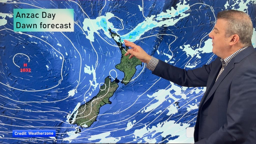
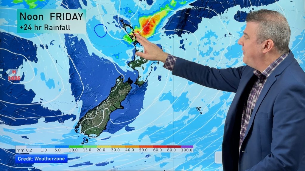
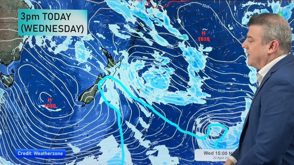
A low pressure system centered over central New Zealand today brings a southerly airflow to the South Island while a front passes over the North Island.
Northland, Auckland, Waikato & Bay Of Plenty
Rain develops late morning then easing to the odd shower early afternoon as northwesterly winds change breezy westerly. Some sun at times from afternoon.
Highs: 16-17
Western North Island (including Central North Island)
Rain develops late morning (chance of a heavy fall) then eases to the odd shower in the afternoon as northerly winds change northwest, some late afternoon / evening sun possible.
High: 13-15
Eastern North Island
High cloud with increasing northwesterly winds, spots of rain from early afternoon then clearing late afternoon with a westerly change. There may be some sun late in the day.
High: 19
Wellington
Scattered rain, some sun possible especially afternoon. Gusty northwesterly winds change strong southerly overnight with rain.
High: 14
Marlborough & Nelson
Some morning rain then easing and sunny areas breaking through. More persistent rain develops in the evening as gusty northwesterly winds change southwest. Rain clears overnight.
Highs: 15-16
Canterbury
High cloud with light winds, rain about South Canterbury from morning reaches North Canterbury early afternoon with a southwest change. Southwesterlies gusty about the coast.
Highs: 12-14
West Coast
Early rain with heavy falls eases to showers, showers clear in the evening with light winds changing Southerly.
Highs: 12-14
Southland & Otago
Early rain clears about Southland then for Otago easing and clearing around midday, cloud then breaks to a few sunny areas. West to southwesterly winds.
Highs: 11-12
By Weather Analyst Aaron Wilkinson – WeatherWatch.co.nz
Comments
Before you add a new comment, take note this story was published on 13 Oct 2016.


Add new comment