> From the WeatherWatch archives
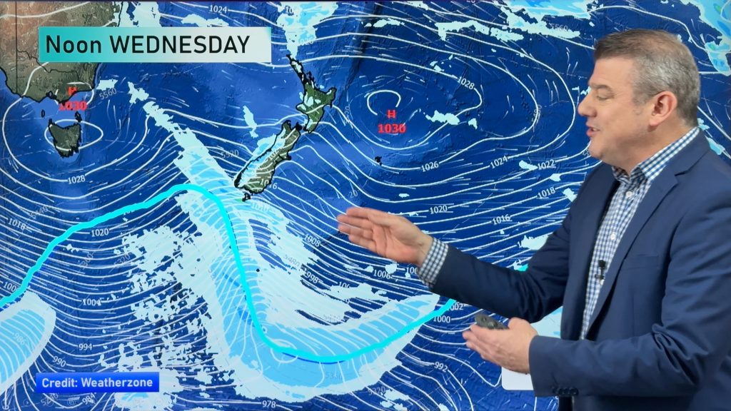
A northeasterly airflow lies over New Zealand today. A front out running from north to south affects the South Island for much of the day then moving onto the west of the North Island later in the day.
Northland, Auckland, Waikato & Bay Of Plenty
Cloudy with showers developing late morning about Northland, late afternoon for Auckland and in the evening further south, breezy Nor’East winds.
Highs: 22-24
Western North Island (including Central North Island)
Plenty of high cloud with spots of rain from late afternoon becoming more persistent later in the evening. Northeasterly winds gusty about Taranaki.
Highs: 20-24
Eastern North Island
Sunny areas and some high cloud, high cloud thickens from afternoon then some rain spreads from the west later in the evening. North to northeasterly winds.
Highs: 22-23
Wellington
Cloudy with a few showers from afternoon, evening rain. Northerly winds.
High: 21
Marlborough & Nelson
Cloudy with rain developing in the morning about Nelson and afternoon for Marlborough. Rain heavy late afternoon / evening for Nelson. North to northeasterly winds.
Highs: 19-21
Canterbury
Cloudy with areas of rain or showers, rain more likely about North Canterbury while further south falls become more patchy. A period of more persistent rain in the afternoon Banks Peninsula northwards then easing in the evening. East to Nor’East winds.
High: 19
West Coast
Rain, heavy falls possible especially about North Westland then easing in the evneing. East to northeasterly winds.
Highs: 18-19
Southland & Otago
Cloudy with some morning rain clearing, further showers possible in the afternoon. East to northeasterly winds.
Highs: 17-20
By Weather Analyst Aaron Wilkinson – WeatherWatch.co.nz
Comments
Before you add a new comment, take note this story was published on 31 Mar 2016.


Add new comment