Friday deluge for the West Coast worth monitoring (+4 Maps)
21/06/2021 9:24pm

> From the WeatherWatch archives
Rain heavy enough to cause slips, flooding and road closures is possible this Friday and Saturday on the West Coast.
The slow moving heavy rain will start on Thursday but it’s Friday where it peaks with some huge numbers in just a 24 hour period. Latest estimates from our IBM supercomputer suggest Franz Josef will have close to 150mm in just 24 hours on Friday. The mountain ranges may have over 200mm in this time period. Franz Josef has over 230mm forecast over four days coming up.
Further north and the totals are still big, but do start to reduce. Hokitika currently has 75mm forecast for Friday alone and a total of roughly 130mm over a four day period starting Thursday. Greymouth has 65mm forecast for Friday and another 60mm on the days either side.
Milford Sound, to the south, has close to 70mm on Thursday, 100mm on Friday and another 60mm over Saturday and Sunday.
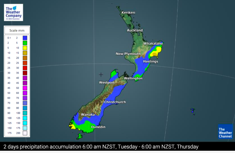
See rainfall accumulation maps here.
See the most detailed and accurate rain forecast data in NZ (powered by IBM) by visiting www.RuralWeather.co.nz or view your local WeatherWatch forecast for daily and hourly rainfall totals anywhere across NZ.


Latest Video

More eastern rain, but a drier long weekend coming
Rain continues today along the eastern South Island and lower North Island, coming in from the east with heavy falls….
Related Articles
More eastern rain, but a drier long weekend coming
Rain continues today along the eastern South Island and lower North Island, coming in from the east with heavy falls….

More heavy rain, snow – but large dry areas, especially as we go into the long weekend
Heavy rain will continue for parts of Canterbury and Marlborough over the next day or two and it will gradually…

Large low brings rain, downpours & some snow – gets colder as the week progresses
Low pressure will cross the upper North Island in the days ahead and that set-up actually pushes more heavy rain…

