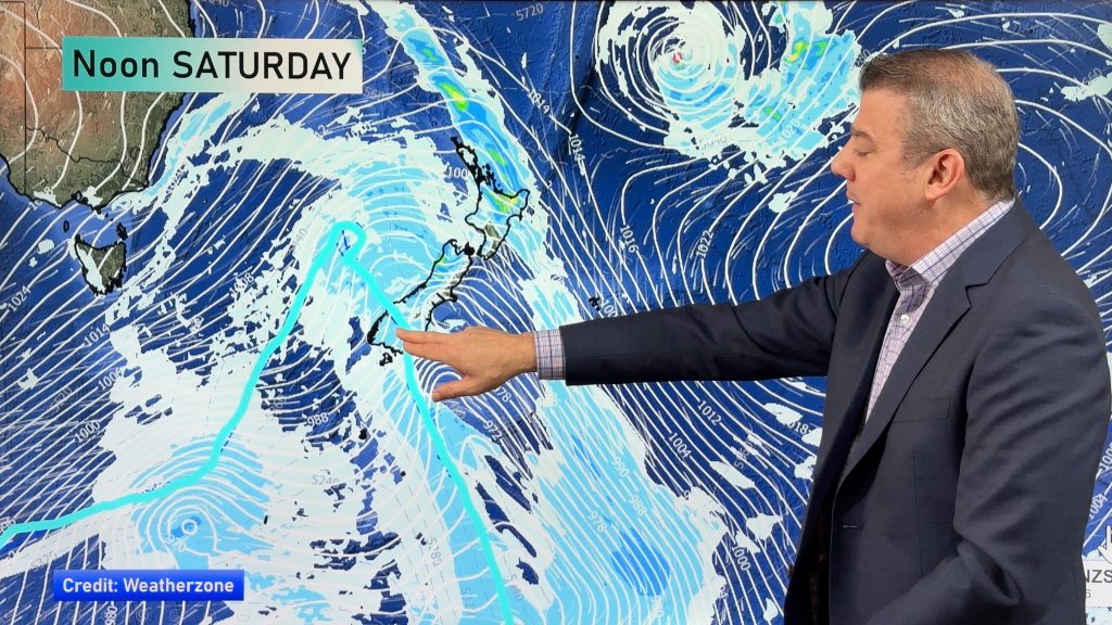
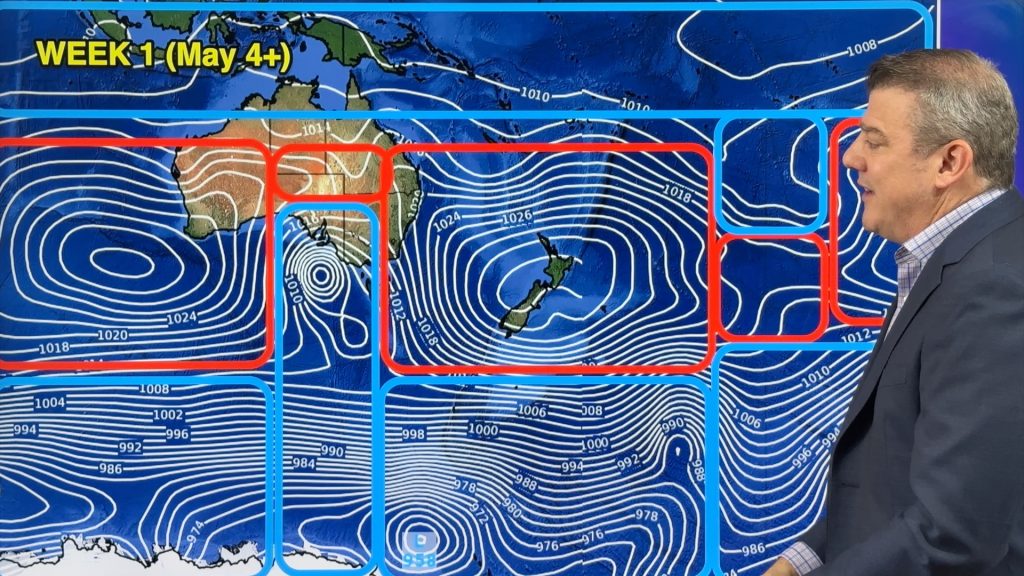
Extra HUGE high pressure system east of New Zealand this Friday!
17/08/2020 8:06pm

> From the WeatherWatch archives
A large high (anticyclone) east of New Zealand this Friday will, by far, be the most powerful one on the planet this week, maybe this month.
The high, which is currently departing NZ to the east, is going to gain power in the coming days as it tracks past the International Date Line and out over open waters.
Central Air Pressure is going to jump up to almost 1050hPa. The current estimate is for it to reach 1048hPa on Friday.
Average air pressure is 1013hPa and most highs in the NZ area are in the 1020s and sometimes 1030s. Occasionally, the odd high in the low 1040s is possible, but very rare to see one in the late 1040s.
hPa stands for Hectopascals – the international unit for measuring air pressure. It used to be known as millibars.
RECORDS
New Zealand’s highest ever air pressure recording was in 1889 in Wellington at 1046hPa, lower than this expected high will be. However, this high will peak in power once it has cleared the NZ area, so records are very unlikely to be broken here.
The planet’s highest ever recorded air pressure reading (measured below 750 metres) was in 1968 in Russia at a giant 1083.8 hPa.

Comments
Before you add a new comment, take note this story was published on 17 Aug 2020.


Add new comment
Peter Thomas Langer on 18/08/2020 5:24am
yeah and all its doing is dragging up cold air out of the southern ocean WTF
Reply
Marc Beattie on 18/08/2020 12:40pm
The close isobars represent wind kinetic force je nach dem oder!?. Heat brought on by heat the sun .
!
Reply