Even warmer than average days coming up for many (+2 Maps)
21/05/2019 10:34pm

> From the WeatherWatch archives
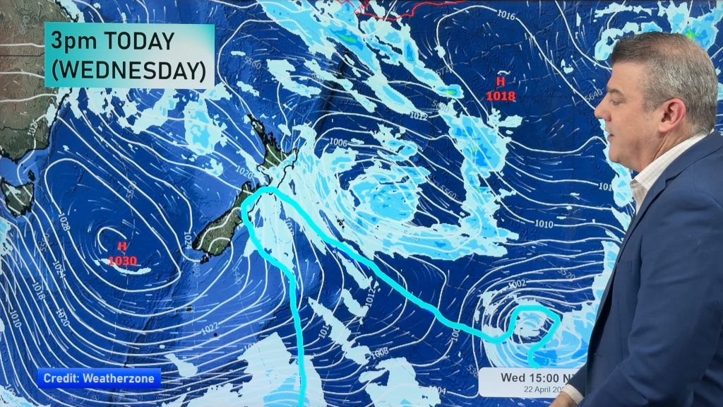
An enormous belt of high pressure continues to influence New Zealand’s weather and by Friday and Saturday this high transitions from being centred over the Tasman Sea to being centred over the Pacific east of us.
This transition brings in east to north east winds for northern areas and north to north west winds (partially sub-tropical) to many others across the nation. This will lift both daytime and nighttime temperatures with afternoon highs well above normal for this time of the year.
Next week we will see a cool down but it may also create some warmer weather in eastern areas, due to being a windy westerly.
Until then – enjoy the warmer than average days. The entire country will be warmer than average on Thursday and most likely will remain that way until Monday. Warmer nights are also expected this weekend and very early next week.


– WeatherWatch.co.nz
Comments
Before you add a new comment, take note this story was published on 21 May 2019.


Add new comment