Detailed update: El Nino’s impact on South Island as rain arrives in North
16/11/2015 2:04am

> From the WeatherWatch archives
Rain has been steadily falling across Northland, Auckland, Coromandel Peninsula and parts of Waikato and Bay of Plenty since this morning – ending a developing and concerning dry spell for some. It’s easing now in Northland and Auckland but more may be coming before the end of the week.
While rain fell in September, October saw a change to drier conditions for many northern areas. Lately NIWA’s soil moisture maps have been showing a concerning trend to drier than average soil moisture levels for northern parts of Auckland, central and eastern parts of Waikato and western parts of Bay of Plenty.
Many dairy farmers and gardeners have also been telling WeatherWatch.co.nz about the drying out trend of recent weeks.
However isolated heavy downpours and thunderstorms last week, coupled with widespread soaking rains today, means the upper North Island should see significant reversal in the drier than average conditions that have been developing.
WeatherWatch.co.nz says for the most part spring isn’t overly extreme this year in New Zealand despite the very serious El Nino forecasts globally – however further south the dry El Nino winds have continued to have a negative impact on Canterbury’s ongoing drought. While a little relief has come in to a few spots of Canterbury and Otago this spring, conditions are generally dry – not east coast ‘normal’ dry but much drier than average.
WeatherWatch.co.nz will continue to keep a close eye on the rain makers and soil conditions nationwide as we head into summer.
HOW WILL EL NINO IMPACT NZ?
While others are focused on the extreme side of El Nino globally, WeatherWatch.co.nz continues to take a sensible and realistic approach to the current pattern around New Zealand and how El Nino may be impacting it now, and into the several weeks ahead. As we move into December it usually becomes clearer which regions will be driest for this upcoming summer as patterns start to emerge for those who closely monitor it – both in the air and on the ground.
This developing summer pattern changes each year because NZ is made up of two fairly small mountainous islands surrounded by huge amounts of open sea – placed in the roaring forties (the belt of strong westerly winds between us and Antarctica) and the start of the sub-tropics to our north. It means New Zealand’s weather is always chaotic – and until the highs and lows all slow down for summer it’s hard to really lock in which regions are most concerning for a drier than usual El Nino summer – and it massively depends on how well they have done over spring, which this year, for the most part, has been fairly kind to many regions (not all, but many).
However eastern areas of both islands, also central areas of New Zealand, are at highest risk of drier than usual weather this summer.
In a nut shell, NZ is a small and mountainous country – and our location on earth means we can buck international trends a little…and our mountains mean we have micro climates, so even one region can have a drought on one side but be wet on the other, it’s hard stuff to lock in too much in advance when the average High or Low pressure system is the same size or bigger than our entire country! Sometimes one single low can bring so much rain it reverses months of drought. Other times, a band of highs can block months and months of nearby rain from making it to those who need it most, as New Zealand has seen a couple times in recent years.
For now – the spring pattern is seeing weekly rain and shower events pushing across NZ, but the driest areas are starting to slowly emerge – and we’ll have a much clearer idea in December about which areas are facing a seriously dry summer ahead. A few soaking wet days are definitely good – but it takes a month, if not months, to see if it’s just part of the normal trend, or a drying out trend.
– WeatherWatch.co.nz
Latest Video
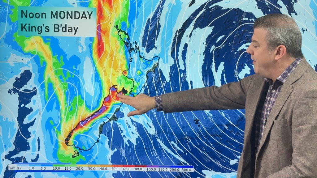
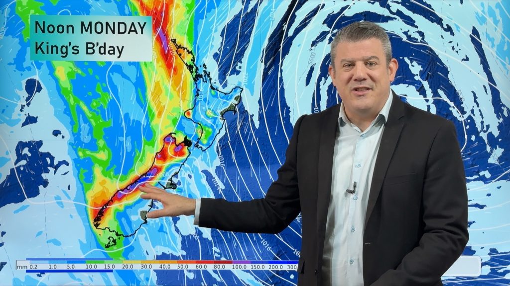
Long weekend weather + outlook as June starts
There will be large dry areas this weekend but the weather is going downhill with rain and wind developing in…
Related Articles
Long weekend weather + outlook as June starts
There will be large dry areas this weekend but the weather is going downhill with rain and wind developing in…
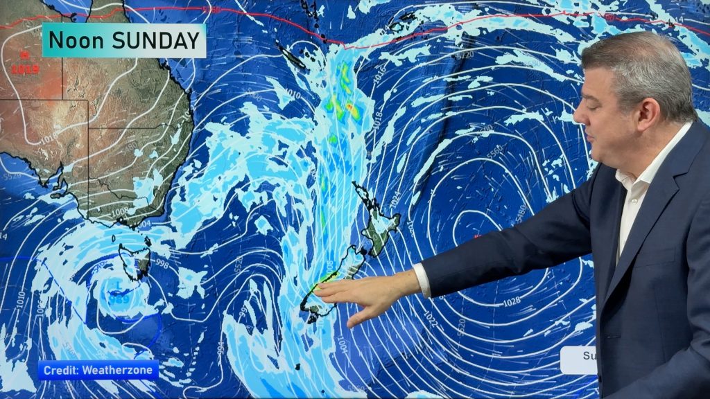
Heavy rain & gusty winds for parts of NZ this long weekend
The long weekend starts off mostly settled and dry, then subtropical north to north-west winds kick in with heavy West…
Latest on the long weekend weather
We still have another large high pressure zone to move over the nation, but subtropical northerlies will pick up this…

