Cyclone Penny tracks away from coast giving far north Queensland reprieve from heavy rain
3/01/2019 12:33am

> From the WeatherWatch archives
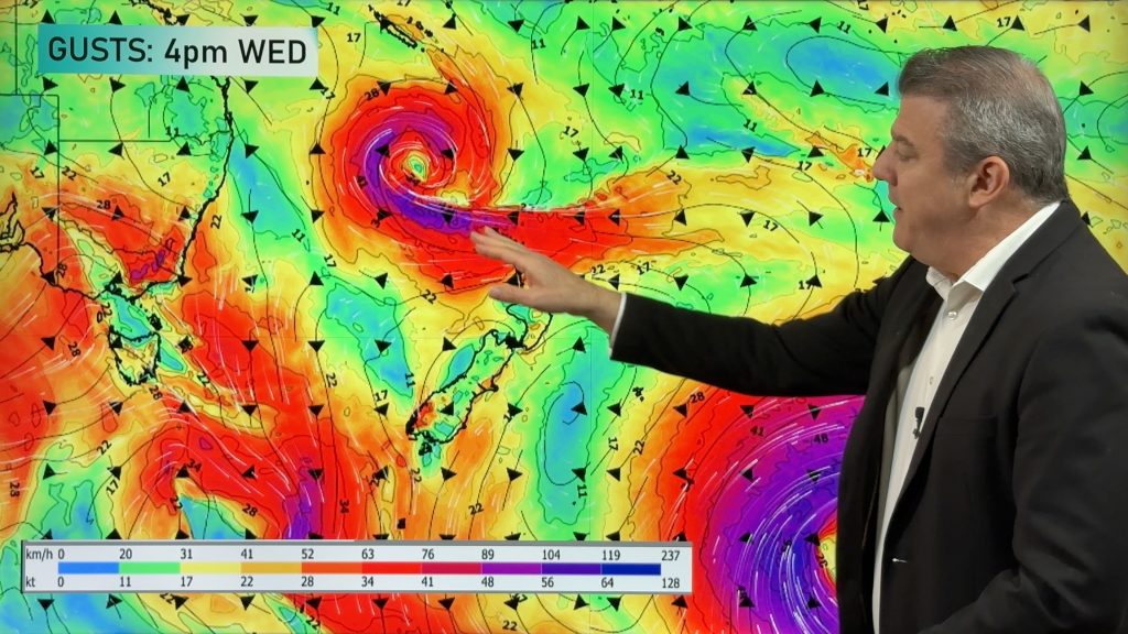
Tropical Cyclone Penny has re-formed in the Coral Sea, but is unlikely to bring significant rain to north Queensland in the coming days, the Bureau of Meteorology (BOM) says.
The BOM said in its update at 4:59am (AEST) the system was tracking in an eastwards direction in the north-west Coral Sea away from the Queensland coast, and was about 505 kilometres east-north-east of Cooktown in the state’s far north.
It said Cyclone Penny was expected to gradually intensify, , before turning towards the south-west and weakening.
BOM senior forecaster Michelle Berry said in the short term Cyclone Penny was not expected to have any major impact on Queensland.
“We’ll be monitoring it very carefully as we go into next week  there is some potential for it to move west south-west later in the weekend into early next week  but at this stage that’s still very uncertain,” she said.
Ms Berry said far north Queensland would get a reprieve from wet weather during Thursday.
“We should have mostly fine conditions for the Cairns coast on Thursday as their winds turn more southerly as the system moves further away  they’ll see a return to showers from Friday,” she said.
“Torres Strait is the area that will likely still see at least some moderate to possibly heavy totals.”
Volunteer Marine Rescue (VMR) is urging boaties to be vigilant on the water, warning the effects of Tropical Cyclone Penny could be felt for weeks.
VMR Whitsunday spokesman Mal Priday said with winds of between 30-40 knots predicted in the Whitsundays, it was important people use common sense.
“It’s never too soon to start thinking about what you’ve got to do, so I do recommend people start thinking about that now, thinking what their course of action will be worst case scenario, and everything from there is a bonus that it doesn’t come right towards us,” he said.

ABC / weatherzone.com.au
Image – Tropical cyclone forecast track map – Issued Thursday 3rd January 2018 4:57 am AEST (7:57am NZDT) – BUREAU OF METEOROLOGY (BOM) http://www.bom.gov.au
Comments
Before you add a new comment, take note this story was published on 3 Jan 2019.


Add new comment