Cold southerlies coming in – The Big Picture on Wednesday
27/10/2015 4:00am

> From the WeatherWatch archives
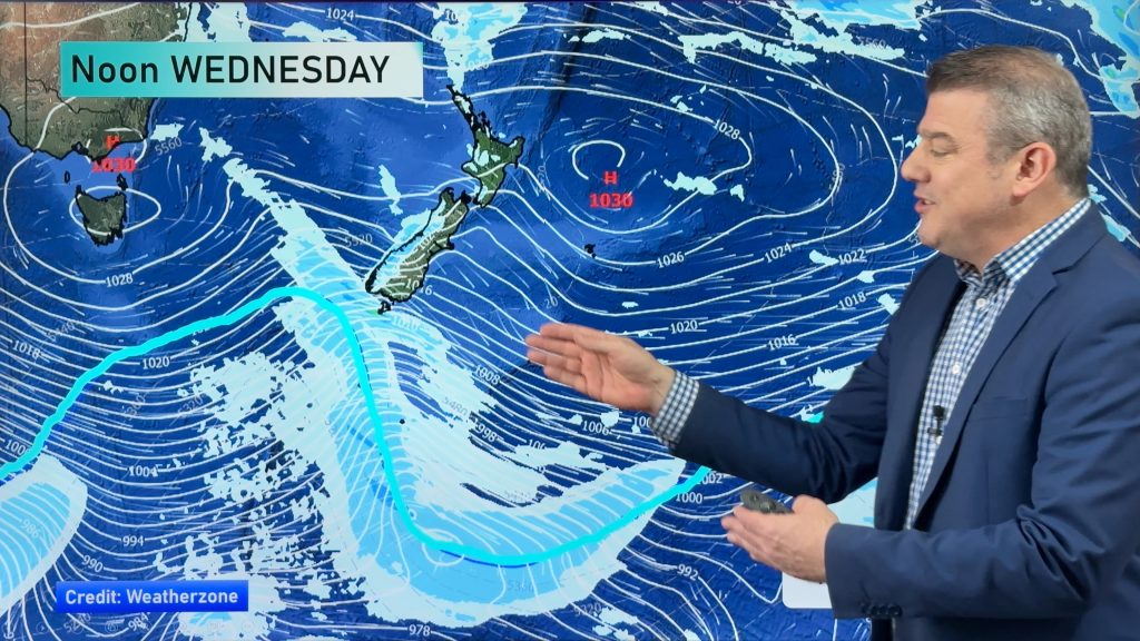
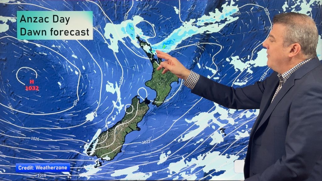
On Wednesday we have a northwesterly airflow lying over the North Island, while a front moves onto Northland overnight – coming in from the northwest.
The South Island has a northerly airflow for the upper part of the island, before southerlies push into Southland and Otago, and Canterbury later in the day.
A low pressure system sits out west of the island in the Tasman Sea, and then a cold area of low pressure extends out in the evening.
So it looks like mostly cloudy skies with some initial light rain in the west, before it becomes heavier from afternoon.
Sunny areas and increasing high cloud dominate in the east, with a few patchy showers, or spots of rain from evening onwards.
For the North Island, most can expect sunny areas and increasing high cloud along with northwest winds, before rain moves onto Northland overnight.

– Aaron Wilkinson & Drew Chappell, WeatherWatch.co.nz
Comments
Before you add a new comment, take note this story was published on 27 Oct 2015.


Add new comment