> From the WeatherWatch archives
Within 24 hours many places have gone from wintry and stormy to sunny and calm after a ridge of high air pressure pushed onto the country from the Tasman Sea.
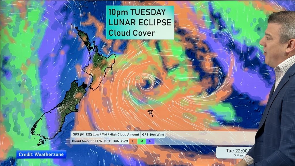
However satellite maps are painting a different story for tomorrow as low cloud pushes on to New Zealand from the west. It should mean sunnier weather in the east though – some eastern centres are fairly cloudy today as the low in the Pacific Ocean moves away from us but fires up some final cloud.
Meanwhile a front pushing towards Southland is driving in cloudy skies too for regions south of about Canterbury.
Wednesday could be a fairly cloudy and cool day along the west coast of New Zealand with warmer conditions not expected until Thursday or Friday.
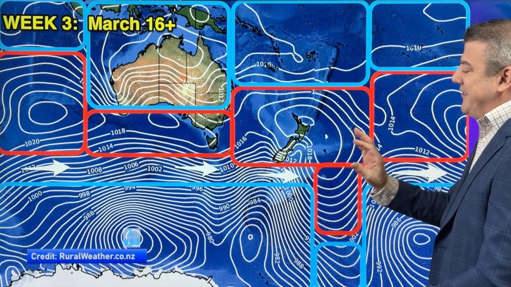
The warmer weather at the end of the week is because the high will be centred slightly to our east pulling in a warmer northerly flow which will get stronger the further out into the Pacific the high travels.
Today’s flow is mostly southerly which is why the upper North Island is so sunny.
Homepage image / Jemma Wells
– WeatherWatch.co.nz
Comments
Before you add a new comment, take note this story was published on 18 Apr 2011.


Add new comment