Can you spot what’s unusual about this forecast rainfall map?!
5/09/2019 11:05pm

> From the WeatherWatch archives
More rain is coming to New Zealand but something a little unusual is showing up – can you spot what it is?
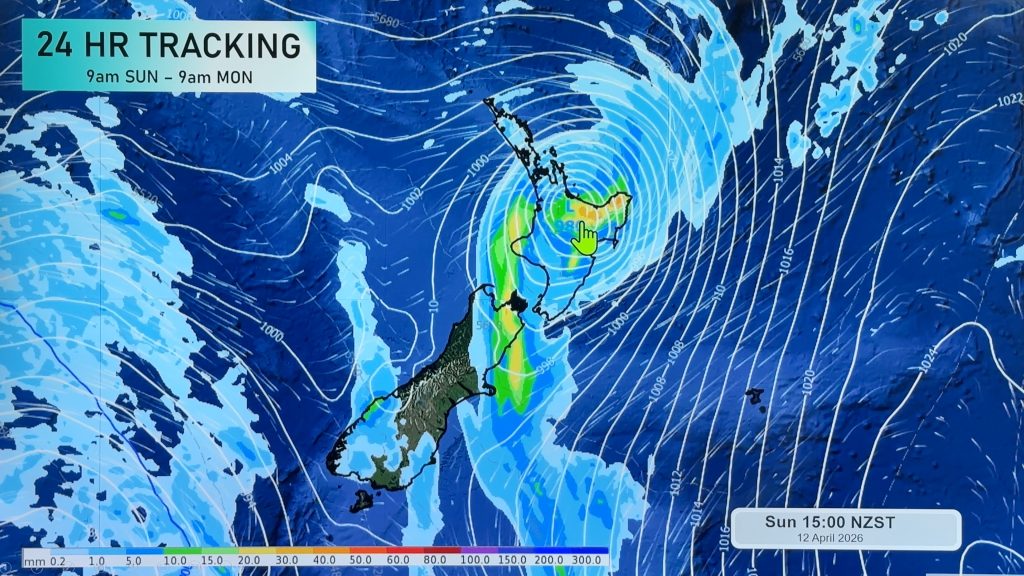
The wettest part of NZ is the one region that, over the coming five days, looks the driest. West Coasters will be loving this forecast as many other regions, in particular the North Island, get even more rain.
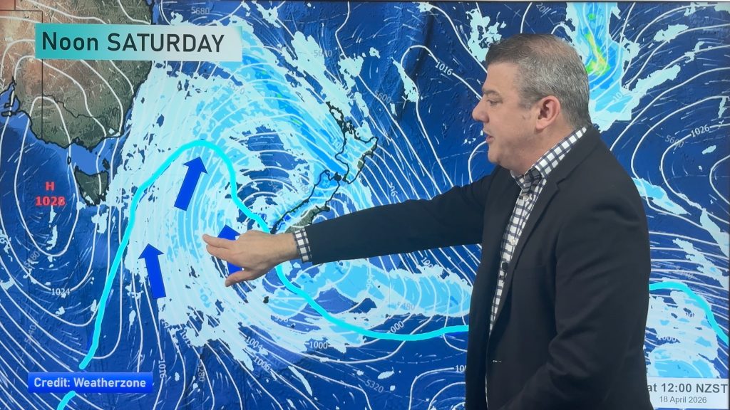
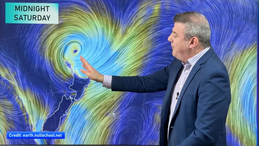
This forecast for the West Coast of the South Island (compared to the rest of NZ) is quite odd for September with so much of our weather coming in from the west, blown in by strong westerlies. This usually ‘piles’ the rain clouds up on the West Coast, but the incoming set up with high pressure to NZ’s south and low pressure to the north will encourage plenty of dry wind flows over the West Coast, such as southerlies and easterlies.
Meanwhile WeatherWatch.co.nz says the North Island is making up for a drier than average year so far in many regions with another low from Sunday to Tuesday dropping an estimated 25 to 50mm in many places.

– WeatherWatch.co.nz
Comments
Before you add a new comment, take note this story was published on 5 Sep 2019.


Add new comment