> From the WeatherWatch archives
Updated 2:20PM — Thunderstorms and hail have hit the Capital this afternoon. As of 2:20pm the thunderstorms with heavy rain and hail were moving northwards across the city and up the lower North Island.
Send us your eyewitness reports by posting a comment below
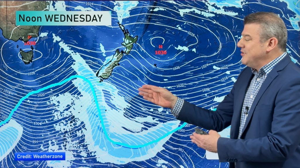
A large area of gale force winds will move up the South Island today and into the North Island bringing squally showers with hail and snow to the ranges.
WeatherWatch.co.nz says sou’west winds in Auckland will build as the day goes on with gusts to 130km/h possible about the Manukau Heads. However WeatherWatch.co.nz believes Auckland City will mostly be below the threshold for damage with most suburbs blustery this afternoon or evening.
Of more concern may be the squally showers, which could see very localised but potentially damaging gusts within some heavy showers.
Further south and the winds get even stronger for some exposed areas, with the bulk of the strongest winds sliding up the east coast of both islands. Places like Banks Peninsula and south Wairarapa will be especially exposed to these strong winds today from the south.
Colder air will produce snow in the deep south to just 200m this morning.
It will take at least two days for today’s blast to fully ease back – with calmer weather for New Zealand by the end of Saturday, high pressure by the end of Sunday, and warmer weather by Monday followed by a high.
New Zealand looks to be significantly warmer in five days time as northerlies from the sub-tropics return for some.
Widespread hail showers are also expected to move across many parts of the country today or overnight tonight.
– WeatherWatch.co.nz
Comments
Before you add a new comment, take note this story was published on 13 Aug 2014.


Add new comment