> From the WeatherWatch archives
More dry weather is in store for the country as high pressure continues to block any rain bands from parched farms and gardens. The Radio Network’s head weather analyst Philip Duncan says this Summer it’s the South Island that’s particularly dry. “Canterbury, Otago and unusually Southland are the three dry spots and while it’s dry across eastern parts of the North Island it’s certainly better than this time last year”.
Duncan says Southland is likely to see some showers or rain on Thursday as a front moves into the region.
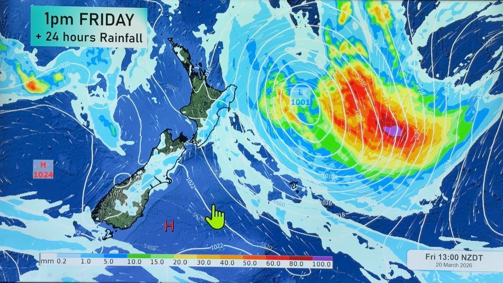
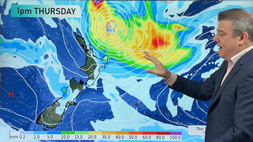
Long range and Duncan says those in the far north should keep a wary eye on a developing Sub Tropical low. “Some computer models are showing it will track very close to Northland and East Cape. While rainfall at this stage doesn’t look too heavy, the potential is certainly there along with very rough seas”. The low is expected to move near New Zealand this weekend with about a 40 to 60% chance of hitting land at this stage.
Comments
Before you add a new comment, take note this story was published on 13 Jan 2008.


Add new comment