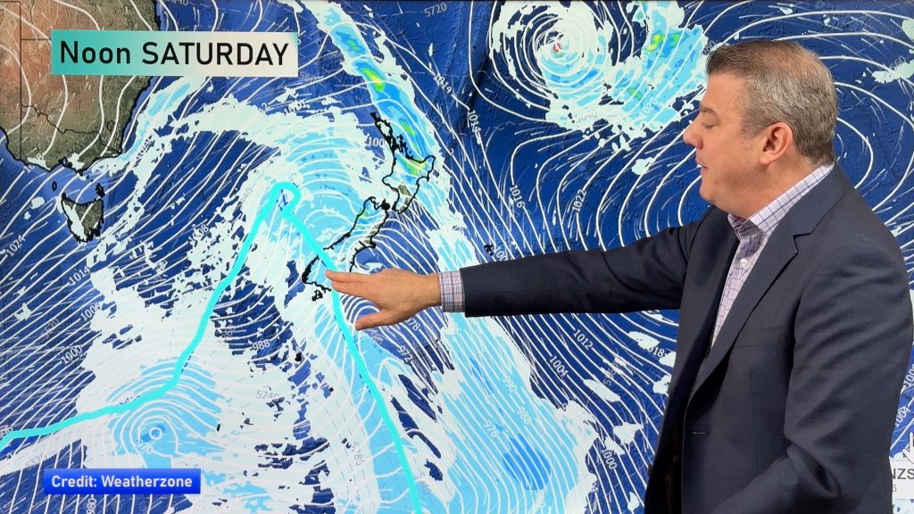
Above normal temperatures continue, some areas may reach ‘heatwave’ criteria (+4 Maps)
2/11/2019 6:00pm

> From the WeatherWatch archives
Temperatures nationwide are above normal on Sunday, not just by a few degrees but in many regions by over 10 degrees as air flows from Australia and the sub-tropics combine to move down over parts of New Zealand.
NZ’s MetService defines a heatwave as fie days or more with maximum temperatures five degrees or more above normal. As you can see from our maps below this is possible with Saturday also a warmer than average day in many regions.
Sunday in particular is well above normal nationwide with about 75% of the country 8 degrees C or more above normal for this time of year.
Aucklanders and other western coastal parts of the North Island may not be so impressed initially due to the breezes straight off the Tasman Sea making it cooler. In Auckland set ups like this show how the city acts more like an island – which it almost is, the narrowest part of the city is just over 1km wide between the Tasman Sea and the Pacific Ocean side so when the winds blow straight in from the Tasman Sea some suburbs don’t get much warmth with the air not travelling over land to warm up first.
As winds shift direction this coming week southern and eastern parts of the South Island will drop back to “normal daytime temperatures” for this time of the year. Inland areas still look warmer though.
Auckland looks warmer next week, along with other western coastal areas like Waikato, Taranaki, Manawatu, Horowhenua and Kapiti.
As for the “heatwave” criteria, the North Island’s eastern regions are the most likely candidates but there may be some other pockets here and there, including the South Island if the cooler change on Tuesday/Wednesday isn’t too great.


– By WeatherWatch.co.nz
Comments
Before you add a new comment, take note this story was published on 2 Nov 2019.


Add new comment