> From the WeatherWatch archives
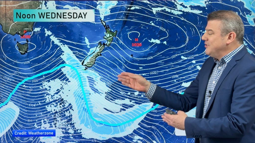
This week is looking mainly settled with anticyclonic conditions dominating, a front does move through starting in the early hours of Tuesday about the far south of the country then reaching the likes of Auckland in the evening. Unfortunately this front does weaken a bit meaning only a few brief showers are forecast for the upper North Island on Tuesday evening, the lower half does better.
The best bet for rain about the upper North Island may be in the form of isolated showers this afternoon / evening although the heaviest falls look to occur about the Bay Of Plenty where there may even be some thunderstorms. For today’s
weather have a look at this mornings forecast here.
Tomorrow expect showers to spread north along the South Island’s east coast with a southwest
change, showers clear about Southland and Otago in the morning. Rain on the West
Coast clears in the afternoon with sunny areas developing. Watch out for frosty
conditions about Central Otago overnight.
For the North Island a westerly airflow brings increasing cloud, southerlies hit Wellington in
the afternoon then further north in the evening. While rain won’t be heavy the
best falls occur about the lower North Island and along the east coast, only a
few showers make it to upper North Island areas, Northland may even remain
mainly dry with the passing of this front.
On Wednesday expect southwesterlies to ease across the country, sunny spells increase in all areas.
It could be a chilly start about inland parts of both islands. Morning showers
clear about the North Island’s east coast.
On Thursday an anticyclone starts spreading over the country moving in from the Tasman Sea, this will bring
mainly settled and sunny conditions with light winds. Expect westerlies across
the lower South Island however. Friday is similar however a northwesterly
airflow picks up over the South Island and lower North Island, cloud increases
about the South Island’s West Coast later in the day.
By Weather Analyst Aaron Wilkinson – WeatherWatch.co.nz
Comments
Before you add a new comment, take note this story was published on 23 Mar 2014.


Add new comment
Celtickiwi on 24/03/2014 1:36am
Yep, your on the button with BOP getting thunderstorms! One is rumbling and snarling its way towards Papamoa as I type! Its an active one too – sometimes less than a minute between rumbles.
AWESOME! 😀
Reply
sw on 23/03/2014 8:34pm
yeah if you call screaming’ south westerlies in auckland is great weather.
Reply