
A cold front to brush the south, but high pressure dominates
28/04/2026 12:14pm
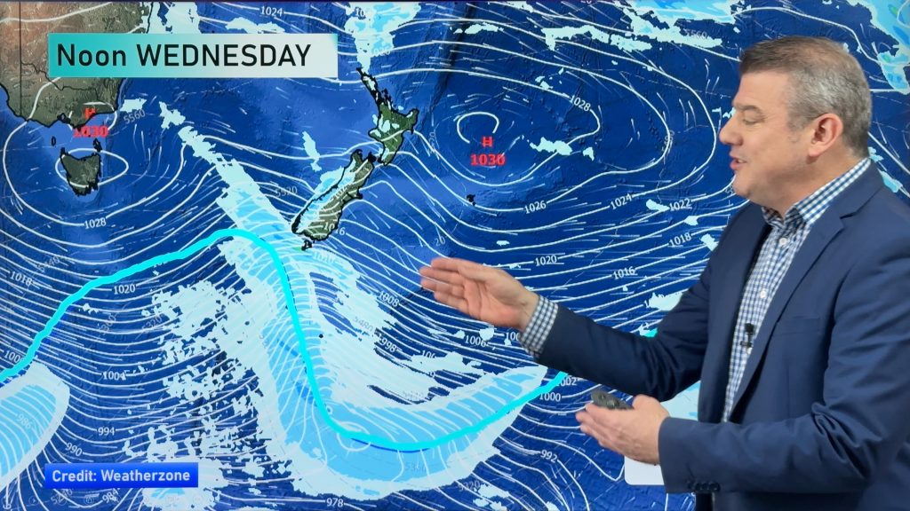
Today’s video is short and sharp because there isn’t a lot of weather on the way! A cold front will brush the South Island on Wednesday and Wednesday night bringing some western and southern rain and showers, and an uptick in windier westerlies which will go into the lower North Island – otherwise large dry areas and a few isolated showers in the north. Cloud and fog may still be an issue in some spots.
Going into the rest of the week, the weekend and start of next week expect a lot of high pressure over NZ reducing severe weather risks significantly with light winds, foggy areas and mostly dry weather.
Comments
Latest Video

NZ 8 day: More spring ups & downs
A surge of colder air will affect some places over today, tonight and Saturday morning, before a warmer airflow comes…
Related Articles
NZ 8 day: More spring ups & downs
A surge of colder air will affect some places over today, tonight and Saturday morning, before a warmer airflow comes…
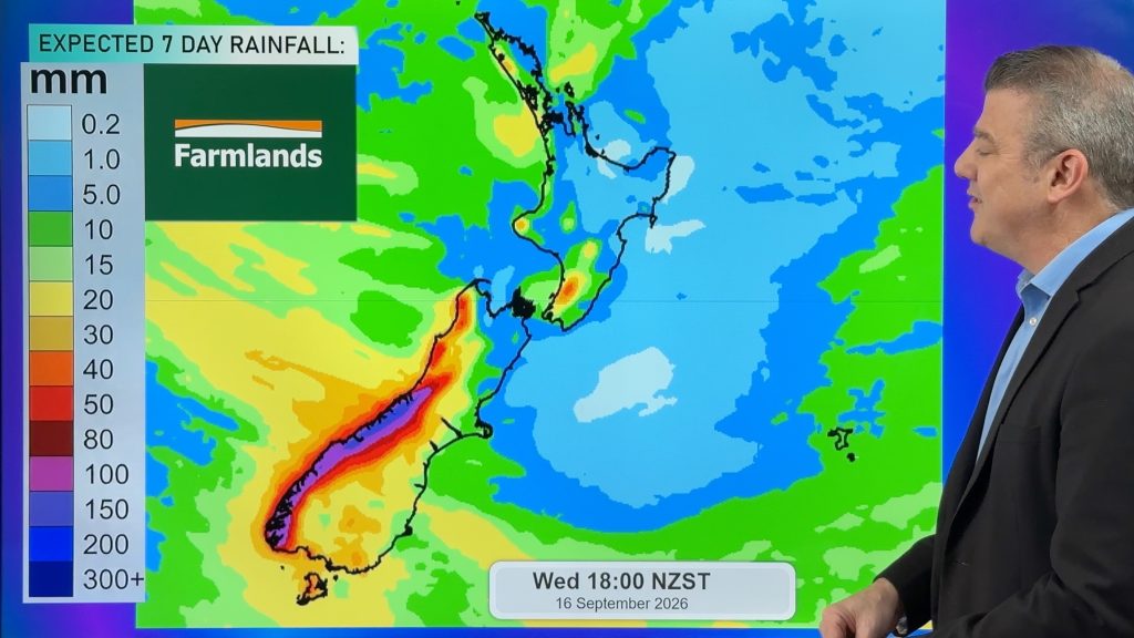
Cold front heads north, high pressure struggles to reach NZ
A burst of colder air spreads over NZ tonight but for many places Friday will be a milder day as…
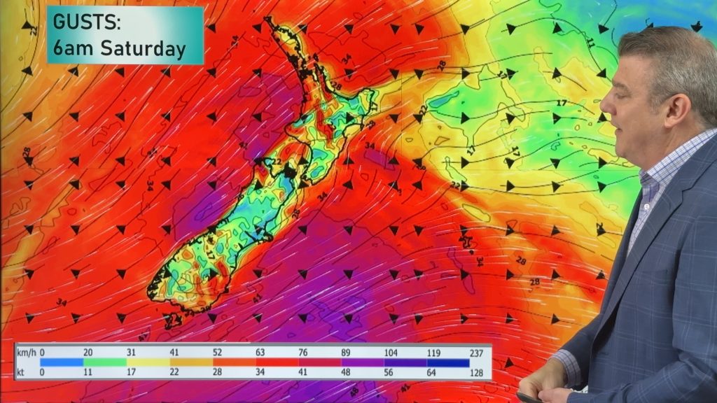
Thursday’s cold front, then more westerlies on way
A cold front will spread over the South Island by noon tomorrow, then over the North Island by midnight tomorrow,…


Christopher on 28/04/2026 1:46pm
Hi Phil
Why is the high not moving?
WW Forecast Team on 28/04/2026 1:53pm
High pressure systems can often get stuck like this at various times of the year, just like we can have lows stuck over us for a few weeks. Weather = a mixture of pattern and chaos. 🙂
– WW