> From the WeatherWatch archives
While it might not be a perfect ‘blue dome’ day for everyone today the regions exposed to severe weather on Monday will be able to have a bit of a breather.
Places like Nelson and Marlborough should see a return to clear skies and dry weather while areas that were pummeled by strong winds such as Northland, Auckland, Hawkes Bay and Canterbury should see much lighter winds drifting in.
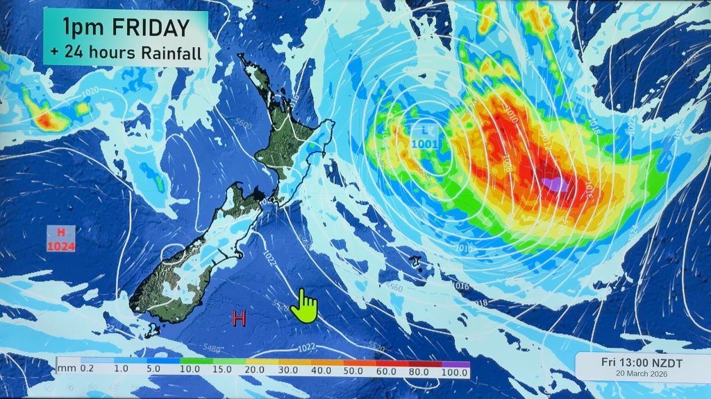
The air pressure is building again over New Zealand as a high moves in from the Tasman Sea and Monday’s storm moves way out to sea.
Some areas of cloud and moisture are trapped under this increasing high pressure and a few weak fronts will touch a few coastal areas, particularly Northland and Southland, but a number of coastal areas will be cloudy today.
November has seen several days with temperatures around 30 degrees which is well above the average for this time of the year. Today should be significantly cooler in places like Napier, Hastings, Christchurch and Timaru.
Temperatures tonight will also be much lower in the South, some by as much as 20 degrees compared to Monday night!
Is there a Drought looming in the East?
We’re putting together a piece on the dry conditions in the east of both islands. If you live in Gisborne, Hawkes Bay, Wairarapa, Canterbury or Otago we’d love to hear from you. Use the “Contact Us” button at the top of the page and let us know what conditions are like where you are. Is it worse than last year? Are you concerned about the on going hot westerlies? Let us know.
Comments
Before you add a new comment, take note this story was published on 25 Nov 2008.


Add new comment