Sunday’s forecast – Several degrees below normal for some, high pressure growing in south (+11 Maps)
26/12/2020 3:00pm

> From the WeatherWatch archives
Unseasonable cold will move up and across much of the North Island and most of eastern New Zealand today.
Temperatures will be several degrees below normal for late December in a number of regions.
High pressure is expanding over the lower half of the South Island – and this is going to usher in more cold overnight weather with some South Island areas close to freezing. Around Tekapo, for example, it will be +1C around sunrise and again as the overnight minimum tonight.
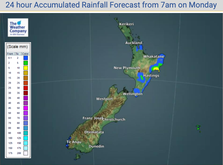
Rain and showers affect eastern areas from Christchurch up to Gisborne with showers into Waikato and Bay of Plenty becoming heavy later. There is the chance of inland afternoon thunderstorms through the central upper North Island.
As always, refer to your LOCAL HOURLY forecasts to make more sense of the upcoming weather in your part of NZ – we’ve got the entire country covered hourly for 10 days out, both here at WeatherWatch and over at www.RuralWeather.co.nz.


Latest Video

Colder nights/mornings, polar change coming Sun/Mon
The nights and mornings ahead will be colder in a number of regions – but an even colder change is…
Related Articles
Colder nights/mornings, polar change coming Sun/Mon
The nights and mornings ahead will be colder in a number of regions – but an even colder change is…

Frosts, clearer skies coming – severe weather possible this weekend
High pressure lies south of NZ today and that placement encourages a colder south-east wind into the North Island bringing…

NZ: 8 Day outlook as gales & rain ease, high pressure builds
Damaging wind gusts and heavy rain will continue to affect some parts of the North Island and brushing Marlborough today…

