> From the WeatherWatch archives
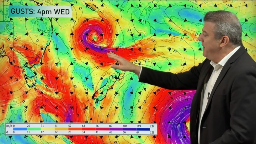
The year will be going out on a wet and warm note thanks to an almost carbon copy of last week’s low. The sub-tropical low will arrive on Monday bringing a period of heavy rain to north eastern parts of the North Island.
“It’s very similar to last week’s low that brought a heavy dumping of rain to Auckland, Northland and Waikato. This one may bring a slightly bigger rainfall total for the Gisborne region but again I suspect it may be centred just a little too far west for substantial rain for those dry east coast farms”.
The low is expected to bring heavier rain a little further east than last weeks low so holidaymakers in the Coromandel Peninsula are being told to be prepared for a good soaking on Monday and through Monday night. “It’s likely to really set in for eastern parts of Coromandel. It’ll be a good test to see how waterproof that new tent is”.
Mr Duncan says heavy rain warnings may be issued and those camping or venturing near streams, particularly across the Coromandel Peninsula, Bay of Plenty and East Cape, should be aware of the latest forecasts at all times and watch for rising waterways. “These sub-tropical lows can be a little unpredictable…especially when they’re slow moving like this one. Forecasts can change as the day progresses”.
The heaviest rain is expected from late Monday to late Tuesday mainly from the Coromandel Peninsula to East Cape. Rain is also expected across Auckland, Waikato, Taranaki and the Central Plateau.
Meanwhile a large low in the Southern Ocean is approaching New Zealand and already the nor’wester is building ahead of it. “It’s lucky that this low is quite far south of New Zealand as it’s a pretty deep and large depression”. On Sunday several South Island centres reached 30 degrees and over including Dunedin, which was just 12 degrees on Christmas Day.
“The nor’westers ahead of this low will last for the next few days. That means eastern areas of both islands are in for some hot weather with temperatures exceeding 30 degrees on Monday, Tuesday and possible Wednesday for a number of centres, especially those a little further inland”.
The Weather Watch Centre’s official New Year’s Eve weather forecast still calls for mostly dry weather in our main party spots with temperatures in the late teens around midnight. Rain or showers are possible in Southland, the West Coast and now possibly Taranaki.
Windy conditions are still expected in Wellington.
Comments
Before you add a new comment, take note this story was published on 28 Dec 2008.


Add new comment