> From the WeatherWatch archives
It’s the final “official” weekend of summer but don’t worry, the summer weather isn’t going anywhere too fast with plenty of sun and warmth predicted across the month of March.
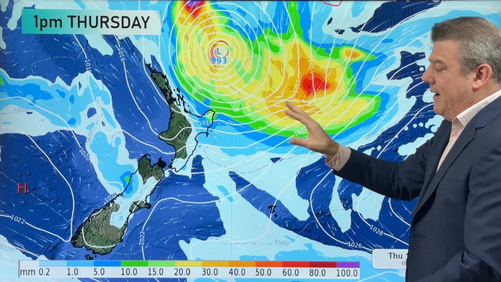
This weekend a weakening cold front will fall apart as it heads into the North Island bringing with it a few showers.
In Christchurch and other eastern parts of the South Island sunny, warm, weather should prevail with light winds for most however overnight lows will drop significantly tonight and again tomorrow..
Apart from the few showers in the North Island the weather will be mostly dry and mild right over the country – but not hot. Highs across New Zealand will mostly be between 18 and 23 degrees.
The overnight lows will take a bit of tumble, especially in the South Island’s east coast. They may drop as low as 4 or 5 across inland parts of Canterbury and 6 to 9 in coastal areas. Most other regions will be between 9 and 15 degrees across the country.
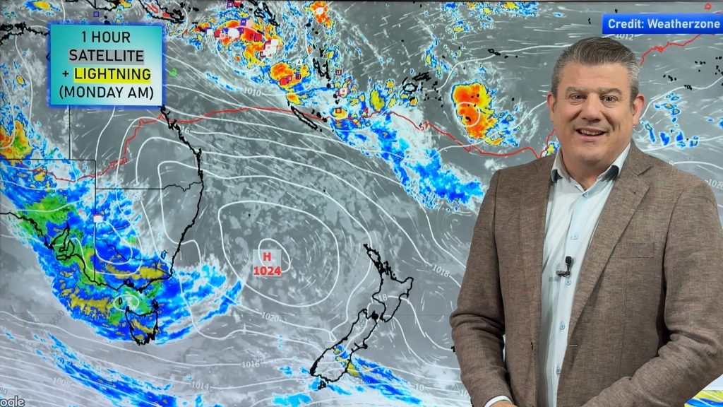
Dangerous rips may still continue along east coast beaches of the North Island from Wairarapa to East Cape as ex-cyclone Atu passes by well to the east of the country.
There is no severe weather expected across New Zealand this weekend.
The next cold front is due to arrive in the South Island on Tuesday and we’ll update you again on Sunday as to what that will mean for you.
– WeatherWatch.co.nz
– Homepage image, Zelda Wynn
Comments
Before you add a new comment, take note this story was published on 25 Feb 2011.


Add new comment
Mike on 25/02/2011 7:16pm
This is directly from the MetService this morning. –
A shallow trough is expected to extend from Bay of Plenty to southern Coromandel Peninsula, Taupo and eastern Waikato. The combination of humid air at low levels and cooling aloft means there is a moderate to high risk of thunderstorms for these areas during the afternoon and evening, and possibly into the night nearer the coast. These thunderstorms are expected to be slow moving and therefore could produce localised heavy rain up to 25mm per hour and possibly higher, as well as hail up to 15mm in diameter.
Follow this link. your site won’t allow me to insert an image.
http://www.metservice.com/IcePics/fc/756c-12e5b66ff00-12e61d6f200-12e5bc4facd.0.png
This is what you are predicting – Apart from the few showers in the North Island the weather will be mostly dry and mild.
Lets see if you are right shall we.
Reply
WW Forecast Team on 25/02/2011 9:36pm
Hi Mike – this thunderstorm risk has been stepped up this morning and we will have a story on it shortly.
We believe those thunderstorms will be fairly isolated though but, as you correctly point out, they could be quite strong. The area for any potential severe thunderstorms is incredibly small – covering just 100kms and that area is between Taupo and Rotorua. This prediction was issued after our story (above).
– WeatherWatch Weekends
Reply