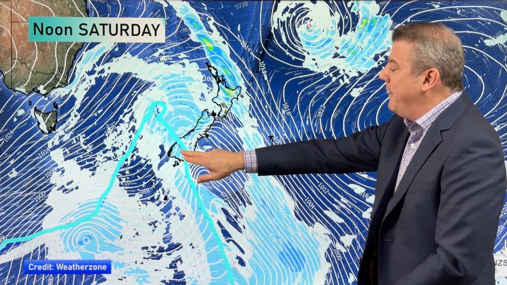
> From the WeatherWatch archives
New Year’s Eve is fast approaching and the latest forecast at this stage is looking excellent for many places – but there will be one corner of wind and rain/showers moving in, but it won’t be much.
High pressure will cover the country to begin with, but it may start to slip away a little from the lower South Island allowing a westerly wind to pick.
At this stage 95% of the country looks dry with the only wet weather likely affecting Fiordland after dark on New Year’s Eve – based on latest data. Some patchy rain and showers may also arrive in Southland later in the day, but this isn’t yet locked in for sure.
Temperatures also look mild in many regions on Dec 31 right across Aotearoa.
Don’t forget WeatherWatch.co.nz now provides monthly and seasonal forecasting – here’s our one for December and Summer… please note the monthly and seasonal forecast will be updated next week. www.weatherwatch.co.nz/content/new-december-summer-climate-outlook-new-zealand-8-maps
Keep up to date with our rain maps and WeatherWatch.co.nz’s local 10 day and hourly forecasts for more info.
9PM AIR PRESSURE AND RAIN MAP FOR DEC 31:
– WeatherWatch.co.nz
Comments
Before you add a new comment, take note this story was published on 25 Dec 2019.


Add new comment