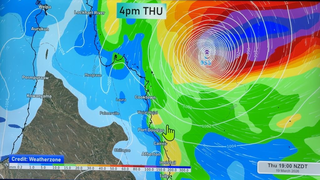
> From the WeatherWatch archives
“The scenes following this cyclone will be horrific”
Waves 12 metres high, roughly the height of street lights, and a storm surge of 2 metres are going to combine to create massive coastal flooding in the hours ahead for the 200km stretch of Queensland coast when Intense Tropical Cyclone Yasi finally moves in.
The storm is just hours away.
Much of the area predicted to be hit by Yasi directly is low lying and serious flooding is going to destroy some coastal communities – possibly entire communities – as a cyclone that Australian’s have never witnessed before begins to move in.
 In the past couple of hours winds have started to pick up with near gales in Townsville – the largest of northern Queensland’s main centres.
Image : Latest sat map showing the eye very clearly. A rare sight so close to land / MTSAT
Yasi is expected to make landfall between 150 and 50kms north of Townsville tonight. Some of the most severe weather could impact centres just north of the city. Heavy rain, which traditionally lies on the southern side of the low, will push into Townsville directly, predicts WeatherWatch.co.nz.
Severe flooding will push inland, as the cyclone remarkably remains intact for over 24 hours – something that is incredibly rare. Even hurricanes in America rarely do this.
Cairns will also be hit hard however the landfall location was this afternoon shifted further south, possibly sparing the city from catastrophic damage.
Head weather analyst Philip Duncan, from WeatherWatch.co.nz, said this cyclone will destroy buildings and may take lives. “There is no question at all that this cyclone is a killer. For anyone who is caught outside in it, near the centre, they will unlikely survive. Winds will be gusting near 300km/h but the storm surge from the sea could be more of a worry, flooding communities well inland. The scenes following this cyclone will be horrific”.
Mr Duncan says residents still have time to evacuate but time is quickly running out. “It’s almost at the point where you cannot outrun this storm. The window of opportunity is now slamming shut”.
WeatherWatch.co.nz says the biggest concern for those in Townsville is that each update from the Bureau of Meteorology appears to track the catastrophic storm closer and closer to the city of 143,000 people.
Hurricane force winds will arrive on the coast before midnight NZT and we will update you as best we can over the coming 6 to 8 hours.
– WeatherWatch.co.nz

Comments
Before you add a new comment, take note this story was published on 2 Feb 2011.


Add new comment