
Wintry airflow returns this week for a time
7/09/2026 12:30pm
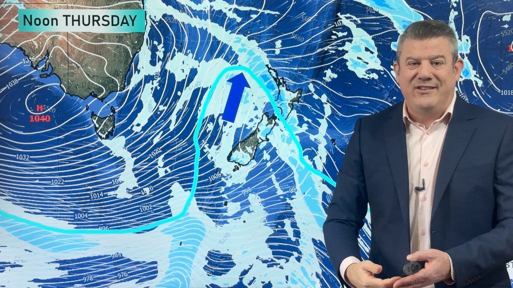
The polar boundary will slide north of NZ later this week, albeit briefly, bringing another nationwide drop in temperatures and more showers and rain for southern and western parts of NZ.
Before this arrives low pressure is today and tonight moving over the upper North Island, bringing instability and some hit and miss downpours with the potential for slow moving falls and isolated thunderstorms. Wet weather is also affecting central NZ today – lower NI/upper SI.
Lighter winds over the South Island means frosts are likely over the next couple of nights before a warmer westerly kicks in mid-week, ahead of the wintry change coming in around Thursday/Friday for most of NZ.
We track the wind, rain, sunshine and temperatures with your NZ forecast – through to this coming Sunday.
Latest Video
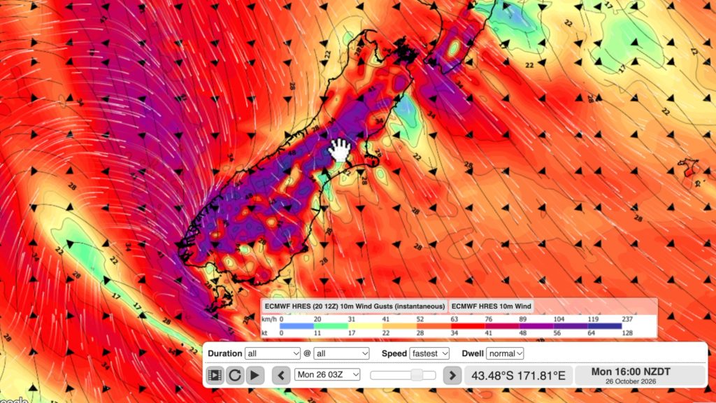
NZ: Long Weekend update, Labour Day severe weather risks
A very large and slow moving high pressure zone will slip off NZ to the east of the North Island…
Related Articles
NZ: Long Weekend update, Labour Day severe weather risks
A very large and slow moving high pressure zone will slip off NZ to the east of the North Island…
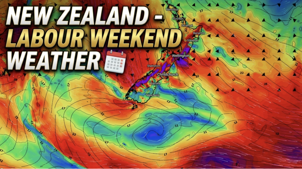
Weather this week & Labour Weekend
High pressure dominates NZ’s weather this week, but slides off much of the country by Labour Day Monday. Despite the…
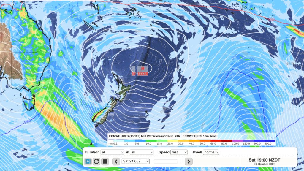
Dry weather coming, Labour Weekend may be stormy
High pressure is moving in to NZ, or at least trying to, with it likely parking itself over the Tasman…

