> From the WeatherWatch archives
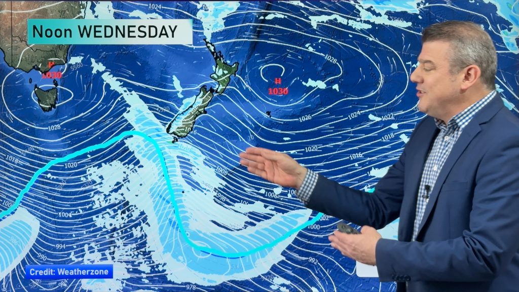
Much of New Zealand can expect a settled Friday. However, parts of the South Island could see some heavy rain before the day is over.
The greatest threat for heavy rain will be between Milford Sound and Harihari. By tomorrow afternoon, 150 to 200mm of rain is expected in the ranges with up to 300mm possible between Mt. Cook and Mt. Aspiring. 60 to 100mm is likely along the coasts. Rainfall rates of up to 25mm/hr are possible this evening into tomorrow morning. Government forecaster MetService has a Heavy Rain Warning in place for these areas.
Heavy Rain Warnings are also up for the headwaters of the Otago lakes and rivers. Between this morning and tomorrow afternoon, up to 200mm of rain is expected to fall about the Divide with over 100mm likely within 15km east of the Divide. Rainfall rates up to 20mm/hr are possible this evening into early tomorrow morning.
Heavy rain is also possible for inland parts of Southland, the Otago Lakes region across to western parts of Central Otago and also the Mackenzie Basin. MetService is watching these areas for a possible warning. However at this time, it is expected that rainfall will remain just below warning criteria.
Strong winds are possible about exposed inland parts Southland this morning. Northwesterlies could reach severe gale force.
Northwesterlies could also reach severe gale force in exposed parts of Otago and Canterbury today. Any severe gales should be very localised and remained confined to the high country. However, there is still a chance that they could become more widespread and possibly warrant the issuance of a warning.
Homepage image/ Rachel Kuljish
By WeatherWatch.co.nz Analyst Howard Joseph
Comments
Before you add a new comment, take note this story was published on 13 Sep 2012.


Add new comment