> From the WeatherWatch archives
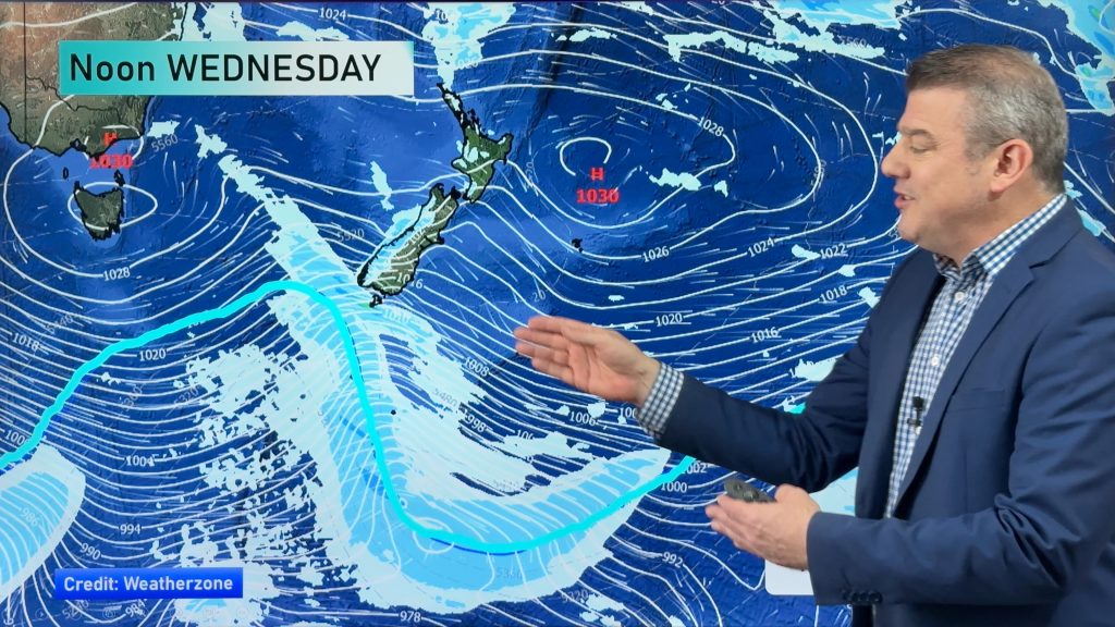
Yesterday New Zealand weather forecasters started talking about another burst of heavy rain coming for Wanganui and the district later this week – now many of you are asking us if flooding is possible.
FAQs
Will this front produce as much rain?
It certainly has capabilities of producing similar downpour rates to the last event.
Will this front be as widespread as the last one?
Yes – it looks as though it will cover a similar area. It will start on the South Island’s West Coast on Thursday, moving northwards on Friday – clearing northern NZ on Saturday.
Will it be sub-tropical fueled rain?
Yes to some degree – that’s why we are predicting some localised heavy downpours and why it’s one to monitor.
The last front stalled over the Whanganui River catchment area – will this do the same?
Like the last front there is a blocking high to the east – but latest models are showing this front may be moving a little bit faster – the faster it moves the less chances there are of flooding. In saying that – it may still take 12 hours to move through. Some fronts can move through in 30 minutes.
What are you concerned about at WeatherWatch?
We’re not so worried about downpours in Wanganui City itself – it’s more about the giant catchment area for the Whanganui River which extends northwards into National Park up to Taumarunui – westwards towards Taranaki and eastwards into the volcanic plateau. This is the area where the rain fell last time then flooded out at the end of the river in the city itself. On top of the recent heavy rains this is certainly one to monitor. Again we’re hoping the front moves through faster – but we won’t know until the day itself and we can see it on the rain radar.
What do you see as optimistic about this front?
We’re hoping it won’t linger more than 6 to 12 hours, from noon Friday until midnight Friday. It’s about how long the heaviest falls are over the catchment area for the river and it’s still too far out to lock in.
Will there be a repeat of the flood?
No one can really predict this in advance – it depends on precisely where the heaviest falls develop and how fast the front moves – because this is likely to be fairly slow moving with sub-tropical elements flooding is a possibility. We’ll have more details on Thursday as the front starts to move northwards.
What’s your advice to people in flood prone parts of the city and district?
Don’t panic – just keep up to date with your preferred forecaster, keep up to date with the latest weather news and warnings – monitor the rain maps here at WeatherWatch.co.nz and watch the rain radars on Friday. Hopefully it will move through fast enough to not cause major headaches – but it will be slow moving enough to potentially cause issues. So – like last time – we will be watching a very narrow, slow moving, front with heavy downpours in it.
Like last time the majority of New Zealanders will be unaffected by severe weather – but this front will cross both islands so all of us should see what risks apply to our regions. MetService.com has the latest severe weather outlooks. plus use our free wind and rain maps to work out timings and severity where you live.
– WeatherWatch.co.nz
Comments
Before you add a new comment, take note this story was published on 29 Jun 2015.


Add new comment