> From the WeatherWatch archives
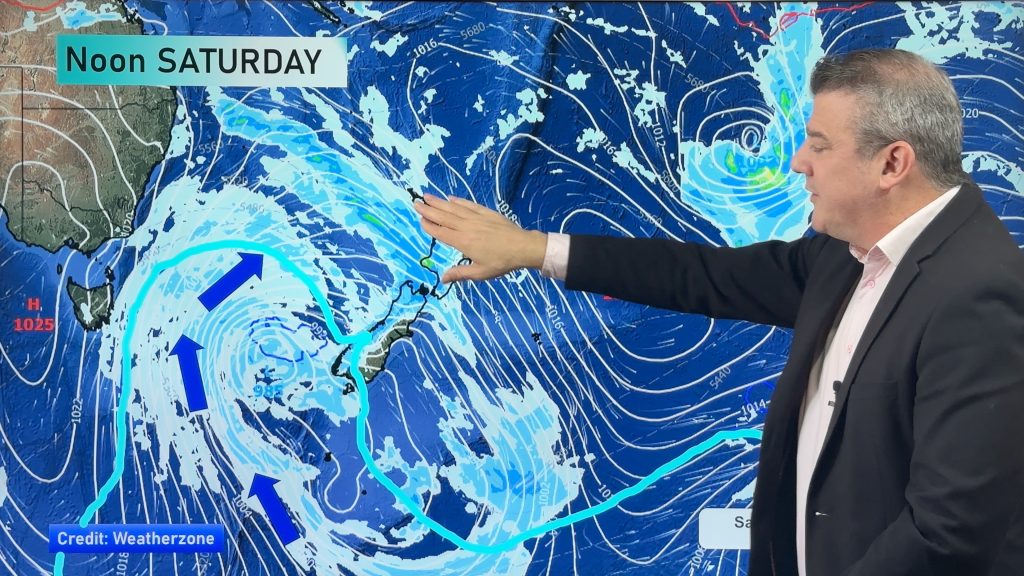
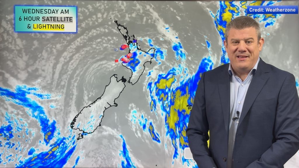
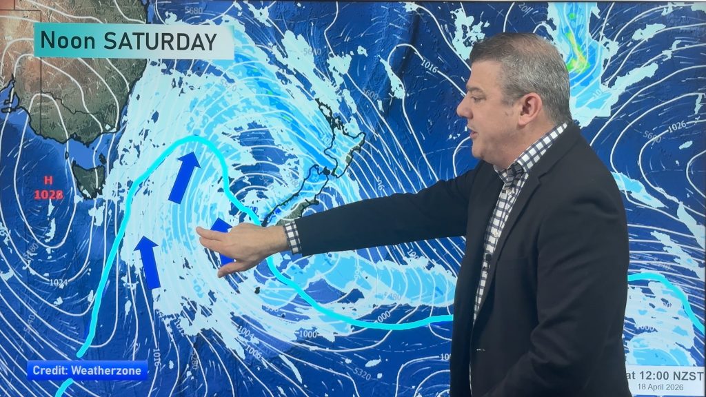
The low responsible for major flash flooding in Nelson, Mt Maunganui, Waihi Beach and other areas this past weekend remains with us for Tuesday, however the system is now gradually weakening.
WeatherWatch.co.nz forecasters say the low will continue to hover around the South Island for another 24 to 26 hours.
Head weather analyst Philip Duncan says the area of low pressure is breaking in two. “We have a weak low west of the South Island and another weak low east of Dunedin. The low in the Tasman is the one producing the most rain though and we expect rain for the West Coast on Tuesday with more showers, some heavy, for the west of the North Island as well”.
Mr Duncan says while heavy falls are possible, for the most part the “torrential” side of the weather is over. “The huge downpours we saw across Saturday and Sunday were directly related to a very humid northerly flow out of the sub-tropics. Now the flow shifts west to south west which is less humid and tends to favour rain or showers for western areas but drier in the east”.
Eastern New Zealand can expect warmer weather to return, especially in the North Island where winds will be west to north west for some – helping lift temperatures into the low to mid 20s.
Further south and a south to south east flow could see much cooler weather for the lower half of the South Island.
Downpours today for western areas may be heavy enough to cause more surface flooding – but the risks for flash flooding due to torrential downpours is now easing.
– WeatherWatch.co.nz
Comments
Before you add a new comment, take note this story was published on 22 Apr 2013.


Add new comment