> From the WeatherWatch archives
For those of you hoping for a dry weekend, I wish I had better news for you.
But it appears that a couple of weather systems will combine forces to make this a pretty wet weekend for most of New Zealand.
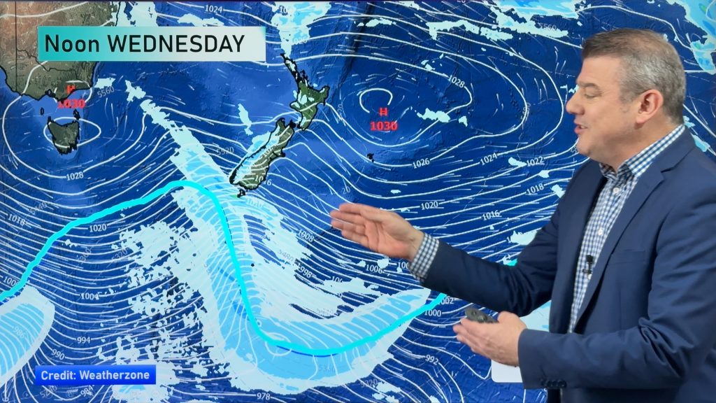
Right now, it looks like Saturday will be the wettest day. Low pressure to the southwest and low pressure to the northwest will combine to spread rain across the country.
For the North Island, it looks like the morning and much of the afternoon will be dry. However, late afternoon and into the evening are expected to be pretty wett. Winds will also increase as the system pushes across Northland and Auckland late Saturday night. Gale force winds are not expected, but we will monitor the development of the system.
Much of the South Island will likely see rain as early as late Saturday morning. The exceptions being for eastern regions. So Christchurch and Dunedin may not get wet until the afternoon.
On Sunday, the weather system will pull away from us. That will mean that not all of Sunday will be wet. In fact, by late afternoon much of the country should be dry.
After that, we could have a few days in a row of fairly settled weather.
Photo by Mike Condon
By WeatherWatch Analyst Howard Joseph
Comments
Before you add a new comment, take note this story was published on 21 Mar 2012.


Add new comment
Rachel Jennings on 22/03/2012 3:48am
G’day its Thursday and the air pressure is low in Timaru but yet its beautifully clear (almost). Why?
Reply
sw on 22/03/2012 7:16am
You’d be under a NW flow,the pressure can be low even in the vicinity of the low be clear but once the low moves out to sea or an easterly develops it will cloud up.
Reply
Guest on 22/03/2012 12:13am
Great pic 🙂
Reply