Wednesday’s national forecast – Showers in the west (+12 maps)
28/09/2021 3:00pm

> From the WeatherWatch archives
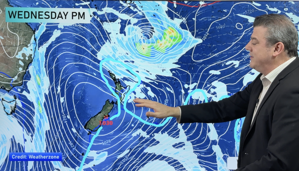
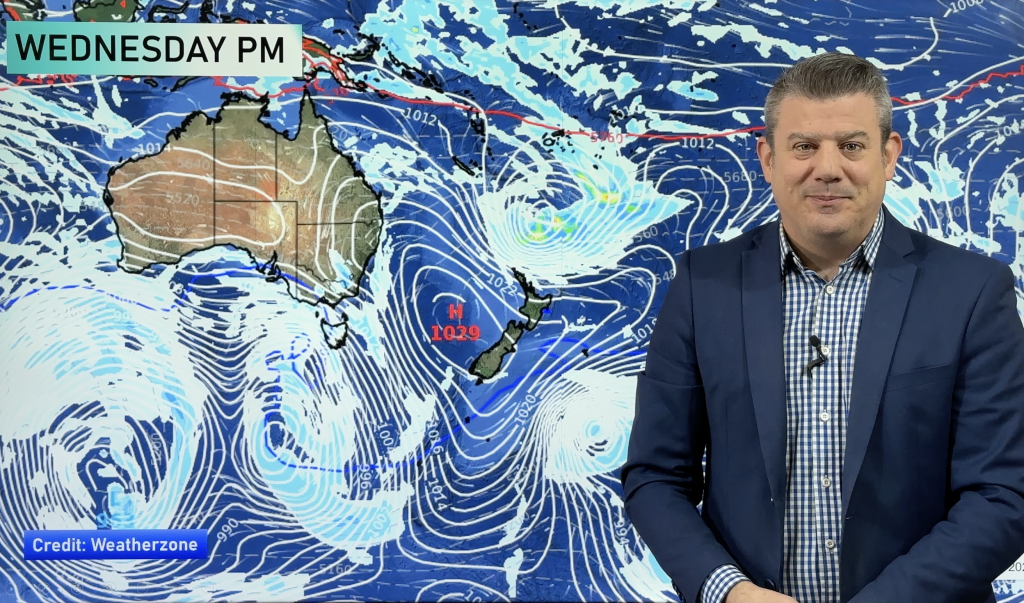
A westerly airflow lies over New Zealand today, a front moves onto the lower South Island this afternoon then pushing northwards this evening and overnight.
Please refer to your local, hourly, 10 day forecast for more details.
Northland, Auckland, Waikato & Bay Of Plenty
Partly cloudy with occasional showers, Bay Of Plenty sees longer sunny spells with only the risk of a shower in the afternoon spreading from the west. Breezy west to southwesterly winds.
Highs: 16-18
Western North Island (including Central North Island)
A few showers about Taranaki, spreading elsewhere around midday as westerlies freshen.
Highs: 10-15
Eastern North Island
Mostly sunny with west to northwesterly winds.
Highs: 16-19
Wellington
Mostly sunny, some cloud may drift through at times. Northwesterlies become breezy from afternoon.
Highs: 15-16
Marlborough & Nelson
Mostly sunny with southwesterly winds for Nelson, west to northwesterly winds for Marlborough become breezy in the afternoon. Evening showers for Nelson.
Highs: 16-19
Canterbury
Mostly sunny, some high cloud possible. A few overnight showers as northwesterlies change southwest.
Highs: 17-19
West Coast
Showers, rain about South Westland spreads into North Westland in the afternoon. Rain eases back to showers during the evening with a southwest change.
Highs: 12-14
Southland & Otago
Mainly dry with some sun, showers from midday about Southland then mid to late afternoon for Otago as northwesterlies change westerly. Showers may be beefy for a time late afternoon / evening as winds tend more southwest, there might be some hail too with snow flurries to 400m later on.
Highs: 12-18
WeatherWatch.co.nz is proud to be setting the international standard for forecasting in NZ – powered by IBM


Comments
Before you add a new comment, take note this story was published on 28 Sep 2021.


Add new comment