Wednesday’s national forecast – a weak cool change moving in (+9 maps)
2/02/2021 3:00pm
> From the WeatherWatch archives
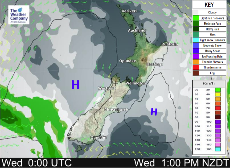
An anticyclone brings mainly settled weather today however a weak front moving into the lower South Island brings in a cool change with some cloud and a few showers, this change reaches into Canterbury late afternoon / evening.
Most regions are dry today, a few showers move into the lower South Island around midday then into Canterbury this evening (perhaps more in the form of drizzle for Canterbury).
Temperatures reach into the low to mid twenties for many but about the far south it will cool down as a southwest change moves through.
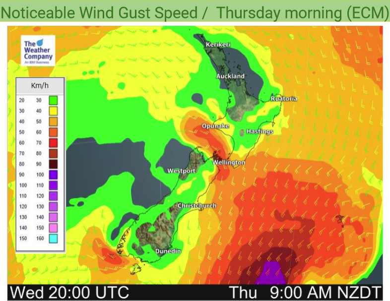
No strong winds today, southwesterlies will freshen a little about eastern coastal areas as a cool change moves through.
Please refer to your local, hourly, 10 day forecast for more details.
Northland, Auckland, Waikato & Bay Of Plenty
Morning cloud then sunny, light winds with afternoon sea breezes.
Highs: 24-28
Western North Island (including Central North Island)
Sunny, light winds. Afternoon westerlies nearer the coast.
Highs: 22-26
Eastern North Island
Some morning cloud breaks away then sunny. Easterly winds for most, easing southeasterlies for Gisborne.
Highs: 21-26
Wellington
Sunny with light northerlies, overnight cloud with freshening southerlies.
High: 21-25
Marlborough & Nelson
Sunny, some high cloud later in the day. Light winds change southerly at night.
Highs: 23-27
Canterbury
Mostly sunny, some high cloud. Light winds change to the south in the afternoon. Lower level cloud thickens up in the evening with a few showers or drizzle patches (especially inland) then clearing overnight.
Highs: 24-28
West Coast
Mostly sunny, some high cloud. Cloud about Fiordland brings showers in the south then clearing afternoon. Warmest afternoon temperatures about inland Buller. Southwesterly winds tend southeast overnight.
Highs: 19-27
Southland & Otago
A few morning showers push through Southland with a southerly change, moving into Otago for a time in the afternoon, some sun with high cloud before showers move in and sun breaking back through from the south once showers clear.
Highs: 18-27


Latest Video

More eastern rain, but a drier long weekend coming
Rain continues today along the eastern South Island and lower North Island, coming in from the east with heavy falls….
Related Articles
More eastern rain, but a drier long weekend coming
Rain continues today along the eastern South Island and lower North Island, coming in from the east with heavy falls….

More heavy rain, snow – but large dry areas, especially as we go into the long weekend
Heavy rain will continue for parts of Canterbury and Marlborough over the next day or two and it will gradually…

Large low brings rain, downpours & some snow – gets colder as the week progresses
Low pressure will cross the upper North Island in the days ahead and that set-up actually pushes more heavy rain…

