> From the WeatherWatch archives
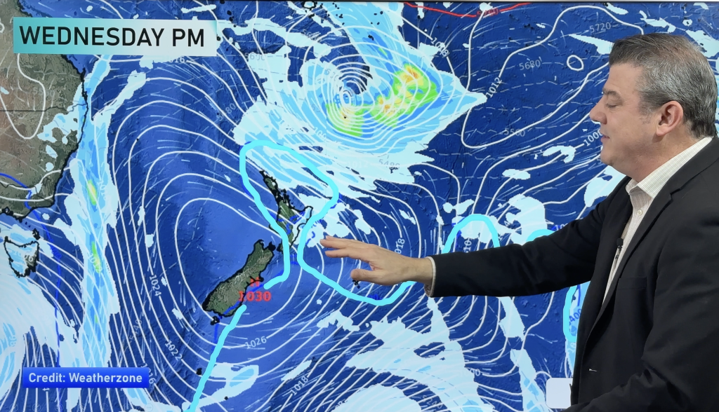
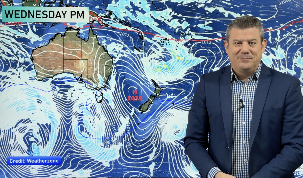
All eyes are on the tropics as a sub-tropical low drops south towards New Zealand.
While it only has moderate chances of briefly becoming a cyclone it does bring a threat to northern New Zealand of rain and gales early next week.
However the exact path of the worst weather is still unclear, for that reason we’re advising people to keep up to date with weather forecasts across the weekend.
We also take a look at the cold change hitting the South Island at the moment and the weather for the Big Day Out in Auckland.
First Published Friday PM
Comments
Before you add a new comment, take note this story was published on 18 Jan 2014.


Add new comment
Chris. J on 17/01/2014 12:21pm
Hi WeatherWatch, great update. Thanks. If you spot the possibility of NW rain heading towards Kapiti from Taranaki, (Sthrn Tararua rainfall) could you please let us know. Possibility is fine, doesn’t have to be spot on. The Taranaki NW can deluge Paekok from those tropical systems, particularly if there is nil or only very light wind when the centre is close. If there is no wind, it stalls trying to get up the mountain here and we can get immense downpours. The NW ex the South Island westerlies is bad for it here, but those tropicals from Taranaki are the worst of the lot. Cheers.
Reply