> From the WeatherWatch archives
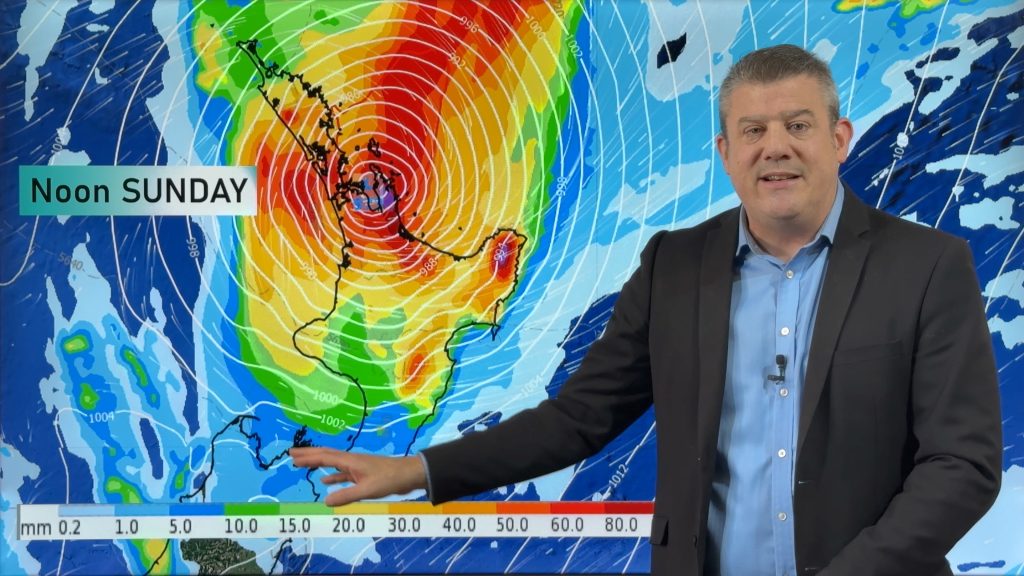
High pressure dominates New Zealand for the next few days but the tropics are not settling down yet with some models showing another tropical low developing this Sunday and drifting towards northern New Zealand next week.
We now have a new YouTube Video Channel – it’s free to subscribe, simply click/tap here
The good news is that the data currently supports this sub-tropical rain maker sliding past East Cape of the North Island, but following on from two ex-cyclones North Islanders are especially concerned about additional rain.
Luckily the high IS locked in and we do expected significant dry, draining, weather over the next four or five days. However early next week we may again be monitoring our next rain maker from the north.
We also have cooler weather, especially mornings, for the next few days – but Thursday sees a southerly that will also see a few places cooler during the day, we have the details on which places will be most exposed to the cooler southerly flow.
– WeatherWatch.co.nz – Click here to subscribe to our *new* YouTube Video Channel
Comments
Before you add a new comment, take note this story was published on 19 Apr 2017.


Add new comment