> From the WeatherWatch archives
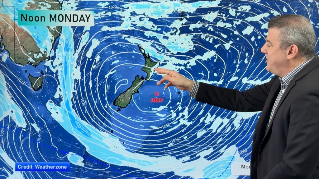
NZHerald and WeatherWatch.co.nz bring you the latest weather developments. After our wintry change that moved in for about 80% of New Zealand on Sunday we now look ahead at the next system – a large but fairly docile low in the Tasman Sea.
Tuesday is the most settled day of the week from a national point of view, with a high squeezing over us as our wintry system moves away to the south east.
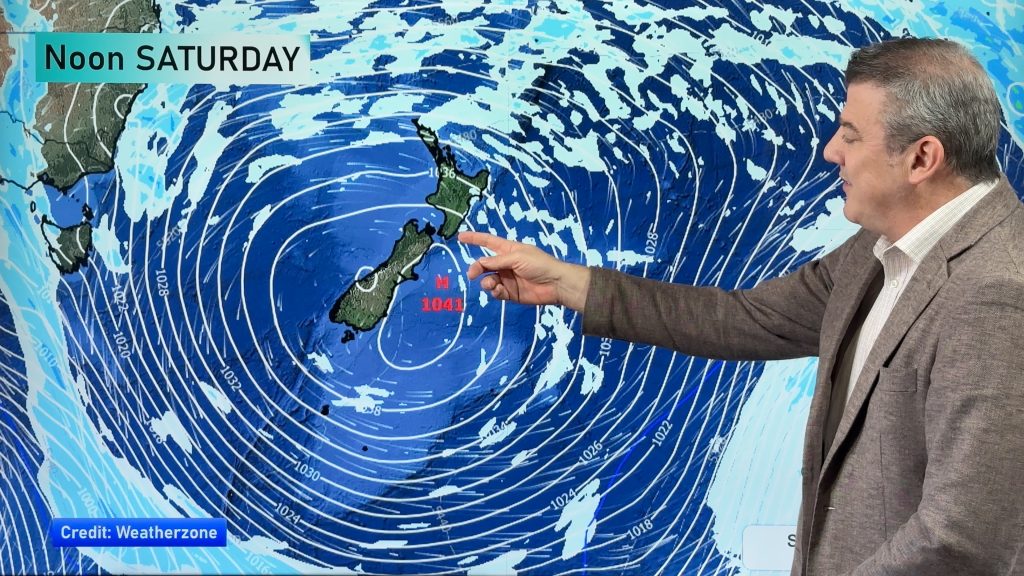
But in the west a large low is developing and will track across northern New Zealand from Wednesday to Sunday. The rain will be slow moving but patchy – with plenty of dry spells in the mix too (and sunny spells, especially if you love in the east and south).
We check out all the rain prediction maps right up until Sunday – so take a look below at the video…
Comments
Before you add a new comment, take note this story was published on 8 Aug 2011.


Add new comment
sw on 8/08/2011 8:29pm
Every model run for Auckland is getting worse and worse as the time nears,Longer and stronger SW flow.Showers/Wind and more Cloud.
Reply