Weather Video: Big deep low pressure system to cover all of New Zealand
18/07/2017 12:11am

> From the WeatherWatch archives
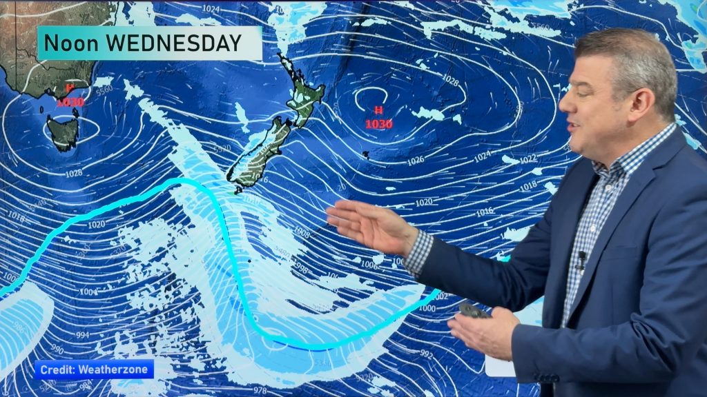
“It’s a little bit messy, in fact little bit is an understatement†says head forecaster Philip Duncan as he describes the incoming deep and large low which will engulf the country over Thursday and Friday and even Saturday to some degree.
It’s not a repeat of the system we had last week but it is a more widespread weather events with a mix of strong winds, heavy rain and snow. The low is so large it will spread sub-tropical northerly quarter winds and much colder Southern Ocean southerlies over the nation.
Tuesday and Wednesday see fairly average conditions around the country with nothing too dramatic – but a developing sub-tropical nor’wester forms on Wednesday.
By Thursday the big deep low from the Tasman Sea is coming in and strong maybe gale force winds along with heavy rain looks likely – wettest weather in the north and west of both islands.
Friday sees rough weather in many areas (ie, heavy rain, strong winds) with a very wet, windy and colder SE change arriving in Otago and nearby areas.
By Saturday eastern areas get more wintry weather and blustery SE winds…but many northern and western areas should see the sun returning with calmer, drier weather returning to most of NZ by Sunday.
Comments
Before you add a new comment, take note this story was published on 18 Jul 2017.


Add new comment