Weather headlines (x3) for Thursday: Another cold night, Warm in the east on Saturday, Strong winds late June?
22/06/2022 7:00pm

> From the WeatherWatch archives
Here’s what is making the weather headlines today.
ANOTHER VERY COLD NIGHT
Very cold temperatures again last night with many South Island regions and inner North Island areas experiencing frosts. The coldest temperatures were about inland South Canterbury, Omarama getting down to -10 while Twizel has seen -7.
TEMPERATURES IN THE EAST WARM ON SATURDAY
Eastern regions will see temperatures in the early to mid teens on Friday, Saturday gets even warmer still with highs up around 16 to 17 degrees. The frost risk alleviates on Saturday morning also.


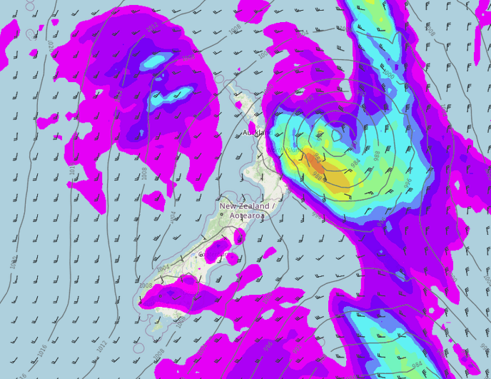
NO STRONG WINDS TILL LATE JUNE?
Winds are looking light to moderate for the week ahead, when a front moves through late Friday / Saturday northerlies ahead of it may be a bit breezy though. On Monday and Tuesday we get freshening northerlies for a time ahead of a front too but then winds change fresh southwest also.
Looking further afield to Thursday 30th June, a low passes by the North Island just to the northeast moving in a southeasterly direction. This may drag in a strong southerly airflow over the North Island during this time then easing 1st July.
Latest Video

Temperature changes for some regions ahead of heavy West Coast rain
A nor-wester is about to kick in and it’s coming from out of Australia, boosting temperatures in some regions going…
Related Articles
Temperature changes for some regions ahead of heavy West Coast rain
A nor-wester is about to kick in and it’s coming from out of Australia, boosting temperatures in some regions going…

NZ 7 day forecast: Showers, temp changes and heavy West Coast rain
NZ has a fairly messy forecast over the next 7 days, but the main feature will be heavy rain on…

Cold fronts continue, wind & rain for some Fri/Sat
Wet weather is moving over the North Island today, while the South Island has drier skies – ahead of another…

