> From the WeatherWatch archives
Warmer conditions should prevail today and tonight across most – but not all – of New Zealand predicts WeatherWatch.co.nz.
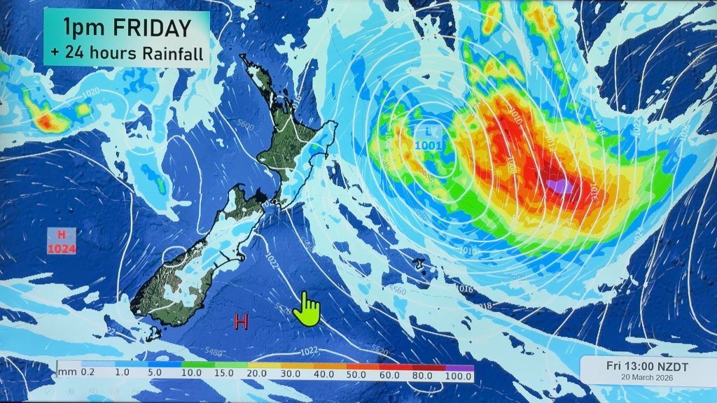
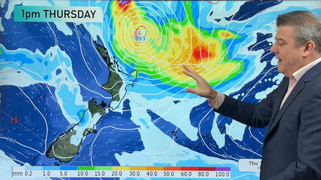
With ex-cyclone Bune today tracking towards the Chathams and slowly away from East Cape the cooler southerly flow should start to ease.
Winds are likely to become more westerly over the North Island with winds from the northerly quarter for Wellington and the South Island.
Daytime temperatures in the east of the South Island will jump up today and will join the North Island with highs in the low to mid 20s.
However a cool change is moving in from the south with a southerly developing. Southland will be first affected with the colder change reaching Christchurch this evening.
So, overnight lows will drop in the South Island tonight but pre-frontal air will mean North Islanders have a milder night than previous nights this week.
This weekend another, more aggressive, cold front will move in to the South Island with rain warnings a possibility along the West Coast.
– WeatherWatch.co.nz
Comments
Before you add a new comment, take note this story was published on 30 Mar 2011.


Add new comment
kylie on 30/03/2011 10:40pm
Heading to Te Anau for the weekend any idea what to expect there?
Reply