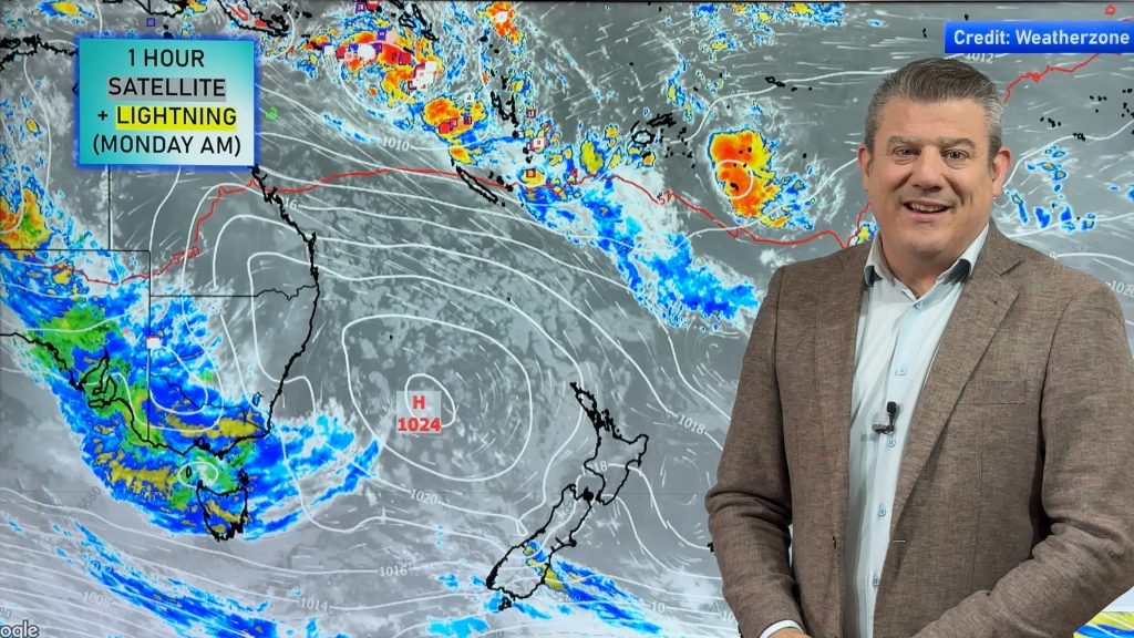
Warmer weather coming for many parts of New Zealand (+8 Temperature Maps)
14/11/2017 1:52am

> From the WeatherWatch archives
This week kicked off with a light southerly flow and it was pretty cool for some areas with overnight lows dipping near freezing and cold starts to the day. In true spring fashion the wind flow is about to change to a warmer one and some parts of New Zealand are set to be warmer than average – in fact over 8 degrees above normal inland.
- Today and Wednesday, sunny weather with less clouds dominates most areas in Southland and West Coast, and the western coastline of the North Island.
- Temperatures in the South Island are mostly warmer than usual, except areas along the northern and eastern coastlines.
- On Thursday, the whole South Island will enjoy mostly sunny weather with weak winds, including the eastern part.
- Max temperatures in Christchurch will rise to 23C.
- Central Otago is likely to reach the mid to late 20sC.


HOW MUCH WARMER OR COOLER THAN USUAL WILL IT BE?


– Maps by The Weather Company (an IBM Business & an official WeatherWatch.co.nz business partner)
– WeatherWatch.co.nz
Comments
Before you add a new comment, take note this story was published on 14 Nov 2017.


Add new comment
Guest on 14/11/2017 9:16am
What’s your prediction for the weather this long weekend?
Reply
WW Forecast Team on 14/11/2017 11:29am
In Canterbury?
Friday starts out nice however cloud increases around midday as southerlies freshen, perhaps some drizzle in the evening. Morning cloud on Saturday breaks to a mostly sunny afternoon, southerlies die out by evening. Sunday looks mainly sunny with afternoon easterlies.
Hope that helps!
Aaron
Reply