> From the WeatherWatch archives
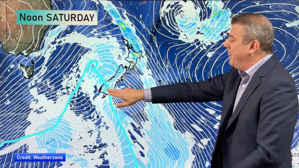
A south to southeasterly airflow lies over New Zealand today, wedged between a deep low to our northeast and a large high in the Tasman Sea.
Northland, Auckland, Waikato & Bay Of Plenty
Some rain or showers about Northland, northern Auckland, Great Barrier Island and Coromandel eases during the day then clears evening. Elsewhere expect cloud to break to some sun from afternoon. Southeasterly winds.
Highs: 18-21
Western North Island (including Central North Island)
Cloudy areas, breaking away in the evening. Southeasterly winds, breezy for most however strong to gale about some coastal areas then easing in the evening.
Highs: 15-18
Eastern North Island
Cloudy with the odd shower, some rain at times for Hawkes Bay and Gisborne. Fresh southerly winds, strong about some coastal fringe areas. Gales possible for coastal East Cape.
Highs: 15-18
Wellington
Cloudy with the odd shower or drizzle patch. Fresh south to southeasterly winds, strong through Cook Strait.
High: 14
Marlborough & Nelson
A mix of sun and cloud, chance of a shower about Marlborough’s southern coastline. Nelson has a sunny day after any early cloud clears. Winds from the southeast, strong about the Marlborough Sounds.
Highs: 16-20
Canterbury
Morning drizzle, cloud breaks to a few sunny spells during the afternoon. Southerly winds die out later in the evening.
Highs: 12-14
West Coast
Sunny weather, any morning cloud about Buller clears. Southeasterly winds ease.
Highs: 16-19
Southland & Otago
Cloud about coastal areas breaks away late afternoon, winds light from the south. Central areas have morning cloud then becoming mostly sunny, light winds.
Highs: 12-14
By Weather Analyst Aaron Wilkinson – WeatherWatch.co.nz
Comments
Before you add a new comment, take note this story was published on 16 Mar 2020.


Add new comment